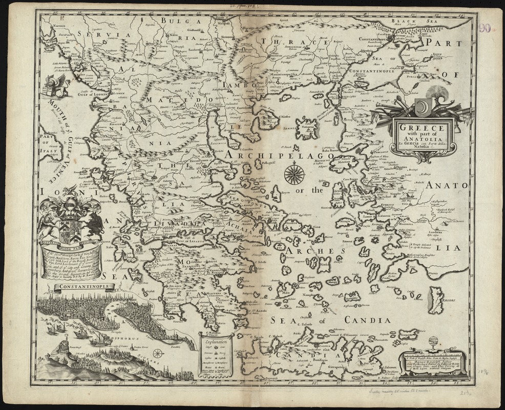
Greece with part of Anatolia = La Graecia con parte della Natolia
Item Information
- Title:
- Greece with part of Anatolia = La Graecia con parte della Natolia
- Title (alt.):
-
Collection of old maps
- Creator:
- Randolph, Bernard, b. 1643
- Name on Item:
-
Barnard Randolph author.
- Date:
-
[1665]
- Format:
-
Maps/Atlases
- Location:
-
Boston Public Library
Norman B. Leventhal Map & Education Center - Collection (local):
-
Norman B. Leventhal Map & Education Center Collection
- Subjects:
-
Greece--Maps--Early works to 1800
Turkey--Maps--Early works to 1800
- Places:
-
Greece
Turkey
- Extent:
- 1 map ; 48 x 56 cm.
- Terms of Use:
-
No known copyright restrictions.
No known restrictions on use.
- Publisher:
-
[London] :
Sold by Richard Palmer in Futwoods Rents near Grayes Inn, and Tho: Terrey at ye. Red Lyon without Newgate
- Scale:
-
Scale [ca. 1:2,500,000]
- Language:
-
English
- Notes:
-
Relief shown pictorially.
Includes dedication.
Inset: Constantinople. View in lower left corner.
R. Palmer sculp.
Date derived from information in Tooley's Dictionary of Mapmakers.
Cataloging, conservation, and digitization made possible in part by The National Endowment for the Humanities: Exploring the human endeavor.
Part of composite portfolio atlas with title "Collection of old maps."
- Notes (date):
-
This date is inferred.
- Identifier:
-
06_01_009276
- Call #:
-
G1015 .C65 1630
- Barcode:
-
30000003857476


