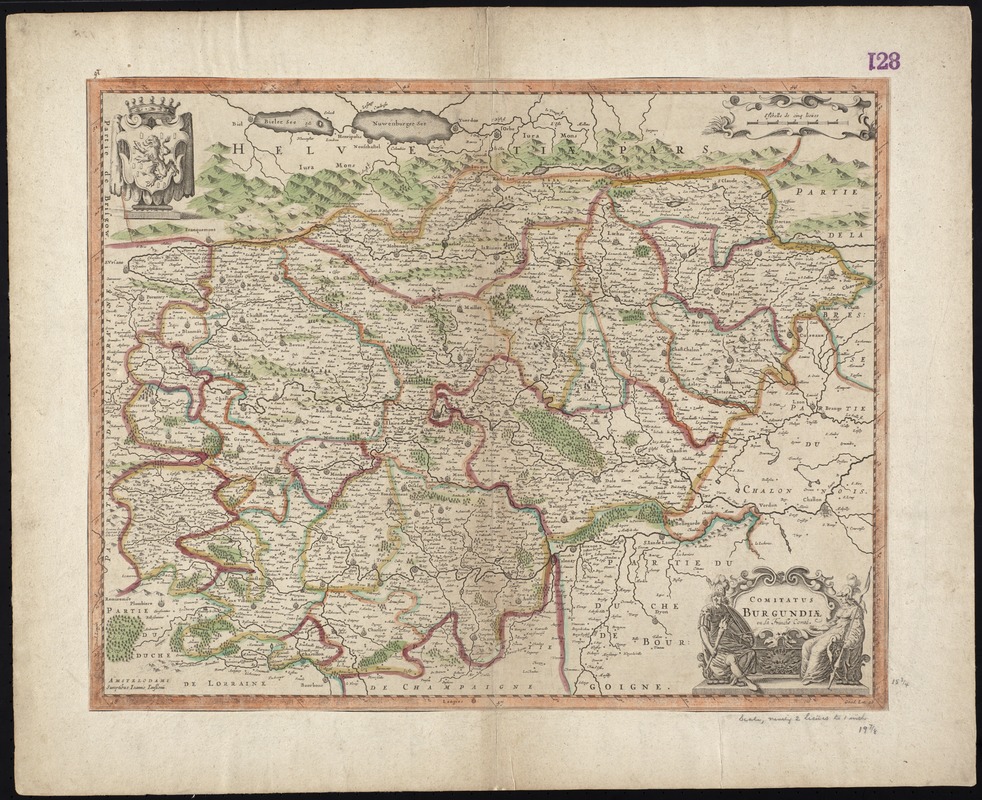
Comitatus Burgundiae ou la Franche Comté
Item Information
- Title:
- Comitatus Burgundiae ou la Franche Comté
- Title (alt.):
-
Collection of old maps
- Creator:
- Jansson, Jan, 1588-1664
- Date:
-
[1675]
- Format:
-
Maps/Atlases
- Location:
-
Boston Public Library
Norman B. Leventhal Map & Education Center - Collection (local):
-
Norman B. Leventhal Map & Education Center Collection
- Subjects:
-
Franche-Comté (France)--Maps--Early works to 1800
- Places:
-
FranceFranche-Comté (region)
- Extent:
- 1 map : col. ; 41 x 53 cm.
- Terms of Use:
-
No known copyright restrictions.
No known restrictions on use.
- Publisher:
-
Amstelodami :
Sumptibus Ioannis Ianssonii
- Scale:
-
Scale [ca. 1:640,000]
- Language:
-
Latin
- Notes:
-
Map of the historical County of Burgundy, France, with parts of western Switzerland.
Relief shown pictorially.
Verso is blank.
Cataloging, conservation, and digitization made possible in part by The National Endowment for the Humanities: Exploring the human endeavor.
Part of composite portfolio atlas with title "Collection of old maps."
- Notes (date):
-
This date is inferred.
- Identifier:
-
06_01_009455
- Call #:
-
G1015 .C65 1630
- Barcode:
-
30000003860438


