Search Constraints
Search Results


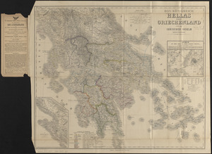
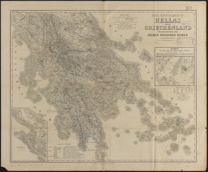


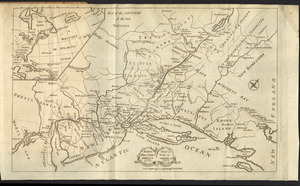
4407. Kriegs-karte 1870
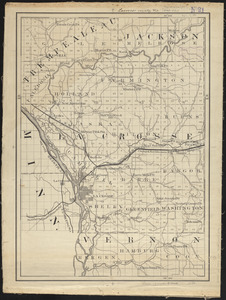
4413. Lacrosse County, Wis.
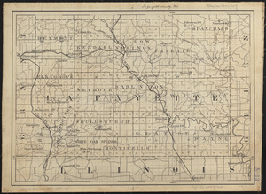
4415. Lafayette County, Wis.

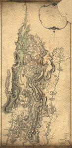
4416. Lake Champlain

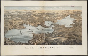
4419. Lake Chautauqua
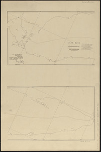
4420. Lake Erie
4421. Lake Erie
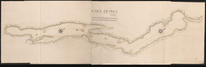
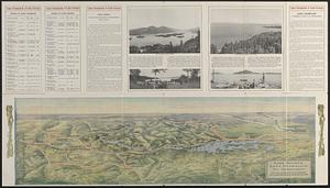
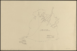
4422. LAKE GEORGE

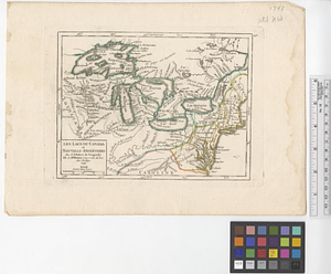
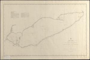
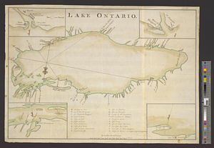
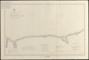
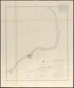
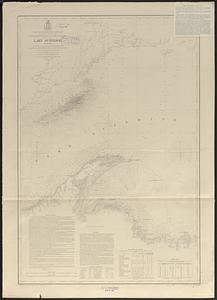
4425. Lake Ontario
![[Lake Ontario]](https://bpldcassets.blob.core.windows.net/derivatives/images/commonwealth:hx11xz576/image_thumbnail_300.jpg)
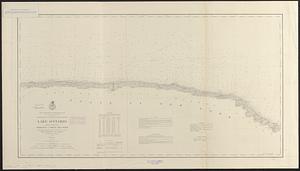
4426. [Lake Ontario]
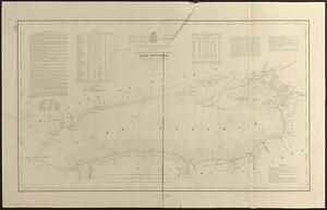
4427. Lake Ontario
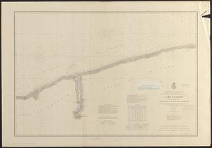
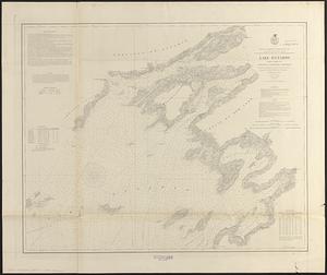
4428. Lake Ontario
4429. Lake Ontario
4430. Lake Ontario
4431. Lake Ontario
4432. Lake Ontario
4433. Lake Ontario
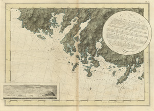
![Lake Ontario & River S.t Laurence from the Lake to Fort William Augustus in Three Rivers, this was taken from a French Draft that was on Board the Prise Williamson belonging to Monsr La Broquerie [east sheet]](https://bpldcassets.blob.core.windows.net/derivatives/images/commonwealth:hx11z135r/image_thumbnail_300.jpg)
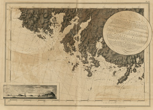
![Lake Ontario & River S.t Laurence from the Lake to Fort William Augustus in Three Rivers, this was taken from a French Draft that was on Board the Prise Williamson belonging to Monsr La Broquerie [middle sheet]](https://bpldcassets.blob.core.windows.net/derivatives/images/commonwealth:hx11z1379/image_thumbnail_300.jpg)
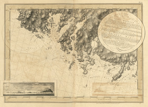
![Lake Ontario & River S.t Laurence from the Lake to Fort William Augustus in Three Rivers, this was taken from a French Draft that was on Board the Prise Williamson belonging to Monsr La Broquerie [west sheet]](https://bpldcassets.blob.core.windows.net/derivatives/images/commonwealth:hx11z139v/image_thumbnail_300.jpg)
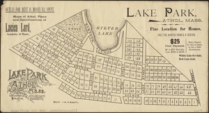
4437. Lake Park, Athol, Mass
![[Lake Pleasant, Massachusetts]](https://bpldcassets.blob.core.windows.net/derivatives/images/commonwealth:9s161g546/image_thumbnail_300.jpg)
4439. Lake St. Clair
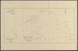
4440. Lake Superior


4447. Lancaster, Ohio : 1885

![[Land division survey of Duxbury and Pembroke, MA]](https://bpldcassets.blob.core.windows.net/derivatives/images/commonwealth:wd376285r/image_thumbnail_300.jpg)


4452. The land of make believe


4470. Languedoc

4471. Lansdale : Pennsylvania


![Laurans Bros., Inc., et al, New Bedford, Mass. [insurance map]](https://bpldcassets.blob.core.windows.net/derivatives/images/commonwealth:ww72bz562/image_thumbnail_300.jpg)

4482. Lawrence, Mass : 1876
![Lawrence Wholesale Drug Company (Warehouse), Lawrence, Mass. [insurance map]](https://bpldcassets.blob.core.windows.net/derivatives/images/commonwealth:ww72bz08d/image_thumbnail_300.jpg)


4491. Lehighton : Pennsylvania
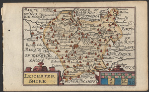
4492. Leicestershire


![[Lennox Passage region]](https://bpldcassets.blob.core.windows.net/derivatives/images/commonwealth:ws859h17t/image_thumbnail_300.jpg)