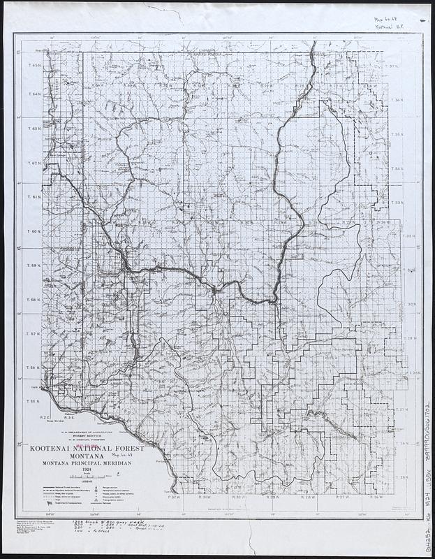
Kootenai National Forest, Montana
Item Information
- Title:
- Kootenai National Forest, Montana
- Cartographer:
- United States. Forest Service. Northern Region
- Cartographer:
- Dwyer, A. W.
- Cartographer:
- Gregory, D. A.
- Cartographer:
- Yule, J. B. (James Blaine), 1884-1957
- Name on Item:
-
compiled at District Office ... by A.W. Dwyer and J.B. Yule ; traced ... by D.A. Gregory
- Date:
-
1924
- Format:
-
Maps/Atlases
- Location:
-
Boston Public Library
Norman B. Leventhal Map & Education Center - Collection (local):
-
Norman B. Leventhal Map & Education Center Collection
- Subjects:
-
Kootenai National Forest (Mont. and Idaho)--Maps
- Places:
-
Montana
Kootenai National Forest
- Extent:
- 1 map : photocopy ; 53 x 44 cm
- Terms of Use:
-
No known copyright restrictions.
No known restrictions on use.
- Publisher:
-
Missoula, Mont. :
U.S. Forest Service
- Edition:
- Rev. 1924
- Scale:
-
Scale approximately 1:252,000
- Projection:
- Polyconic proj.
- Language:
-
English
- Notes:
-
Relief shown by hachures and spot heights.
"Montana principal meridian."
- Identifier:
-
06_01_017024
- Call #:
-
G4252.K6 1924 .U55x
- Barcode:
-
39999065661702


