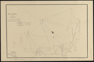
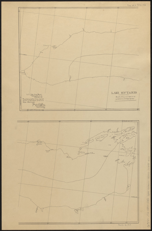
Lake Ontario
Item Information
- Title:
- Lake Ontario
- Title (uniform):
-
Charts for the international boundary between the United States and the Dominion of Canada
- Publisher:
- United States. Light-House Board
- Date:
-
1891
- Format:
-
Maps/Atlases
- Location:
-
Boston Public Library
Norman B. Leventhal Map & Education Center - Collection (local):
-
Norman B. Leventhal Map & Education Center Collection
- Subjects:
-
Canada--Boundaries--United States--Maps
Ontario, Lake (N.Y. and Ont.)--Maps
United States--Boundaries--Canada--Maps
United States--History--War of 1812--Territorial questions--Maps
- Places:
-
Ontario, Lake
- Extent:
- 2 parts on 1 sheet ; sheet 62 x 41 cm
- Terms of Use:
-
No known copyright restrictions.
No known restrictions on use.
- Publisher:
-
Washington D.C. :
U.S. Light-House Board
- Scale:
-
Scale approximately 1:482,000
- Language:
-
English
- Notes:
-
Oriented with north towards the upper right.
"Copied from the survey made in the years 1815-16 & 17 by Capt. H.A.W. Owen of H.B. Majesty Royal Navy."
"Photolithographed from original charts by permission of the U.S. State Department."
Part of a set of maps [Charts for the international boundary between the United States and the Dominion of Canada].
- Identifier:
-
06_01_008484
- Call #:
-
G3701.F2 1891 .C43 Lake Ontario
- Barcode:
-
30000004984321