Iroquois or St. Lawrence

Item Information
- Title:
- Iroquois or St. Lawrence
- Title (uniform):
-
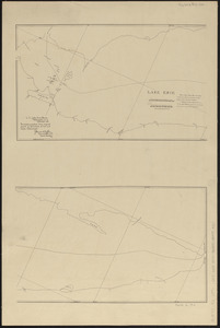
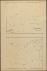
Charts for the international boundary between the United States and the Dominion of Canada
- Contributor:
- Barclay, Anthony, 1792-1877
- Surveyor:
- Bird, William A., 1797-1878
- Contributor:
- Porter, Peter B. (Peter Buell), 1773-1844
- Surveyor:
- Thompson, David, 1770-1857
- Publisher:
- United States. Light-House Board
- Name on Item:
-
Peter B. Porter, Anthony Barclay, commissioners ; William A. Bird, David Thompson, surveyors ; under the 6th & 7th articles of the Treaty of Ghent
- Date:
-
1891
- Format:
-
Maps/Atlases
- Location:
-
Boston Public Library
Norman B. Leventhal Map & Education Center - Collection (local):
-
Norman B. Leventhal Map & Education Center Collection
- Subjects:
-
Canada--Boundaries--United States--Maps
Saint Lawrence River--Maps
United States--Boundaries--Canada--Maps
United States--History--War of 1812--Territorial questions--Maps
- Places:
-
Saint Lawrence River
- Extent:
- 1 map on 12 sheets ; sheets 40 x 61 cm
- Terms of Use:
-
No known copyright restrictions.
No known restrictions on use.
- Publisher:
-
Washington D.C. :
U.S. Light-House Board
- Scale:
-
Scale approximately 1:34,000
- Language:
-
English
- Notes:
-
We certify this to be a true map of part of the boundary designated by the sixth article of the Treaty of Ghent from actual survey by order of the Board.
"Photolithographed from original charts by permission of the U.S. State Department."
Sheets numbered I through X above title. No. X on 3 sheets.
Part of a set of maps [Charts for the international boundary between the United States and the Dominion of Canada].
- Identifier:
-
06_01_008619
06_01_014964
06_01_014965
06_01_014966
06_01_014967
06_01_014968
06_01_014969
06_01_014970
06_01_014971
06_01_008490
- Call #:
-
G3701.F2 1891 .C43 Iroquois
- Barcode:
-
30000004984393