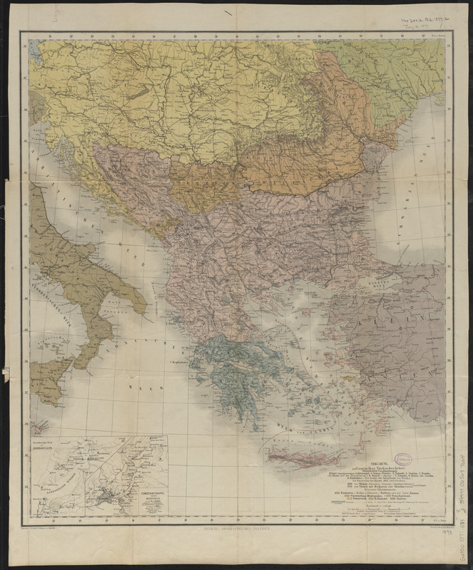
Kriegsschauplatz uebersichtskarte der Europäischen Türkei mit den vasallenstaaten Montenegro, Serbien, Rumænien u. Griechenland
Item Information
- Title:
- Kriegsschauplatz uebersichtskarte der Europäischen Türkei mit den vasallenstaaten Montenegro, Serbien, Rumænien u. Griechenland
- Title (alt.):
-
Balkan Peninsula
- Cartographer:
- Gräf, C.
- Contributor:
- Eyb, O. von
- Contributor:
- Dellinger
- Contributor:
- Kratz, III
- Publisher:
- Geographisches Institut (Weimar, Thuringia, Germany)
- Name on Item:
-
von C. Gräf ; situation u. schrift v. Dellinger u. Kratz III ; terrain v. O. v. Eyb.
- Date:
-
[1877?]
- Format:
-
Maps/Atlases
- Location:
-
Boston Public Library
Norman B. Leventhal Map & Education Center - Collection (local):
-
Norman B. Leventhal Map & Education Center Collection
- Subjects:
-
Balkan Peninsula--Maps
- Places:
-
Balkan Peninsula (area)
- Extent:
- 1 map : color ; 56 x 49 cm, folded in cover 24 x 12 cm
- Terms of Use:
-
No known copyright restrictions.
No known restrictions on use.
- Publisher:
-
Weimar :
Geographisches Institut
- Scale:
-
Scale 1:3,000,000
- Language:
-
German
- Notes:
-
Date of publication estimated from date of acquisition.
Cover title.
Relief shown by hachures.
Prime meridians: Ferro and Paris.
Inset: Der befestigte theil der Dardanellen ; Constantinopel und der Bosporus / nach H. v. Moltke.
- Identifier:
-
06_01_012607
- Call #:
-
G6800 1877 .G73
- Barcode:
-
39999065697664


