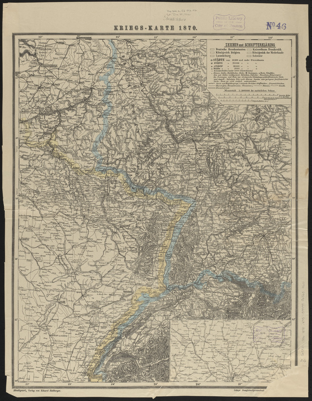
Kriegs-karte 1870
Item Information
- Title:
- Kriegs-karte 1870
- Printer:
- Schreiber, J. F. (Publisher)
- Publisher:
- Hallberger, Eduard, 1822-1880
- Date:
-
[1870]
- Format:
-
Maps/Atlases
- Location:
-
Boston Public Library
Norman B. Leventhal Map & Education Center - Collection (local):
-
Norman B. Leventhal Map & Education Center Collection
- Subjects:
-
Franco-Prussian War, 1870-1871--Maps
France--Maps
Germany--Maps
- Places:
-
France
Germany
- Extent:
- 1 map : color ; 61 x 49 cm
- Terms of Use:
-
No known copyright restrictions.
No known restrictions on use.
- Publisher:
-
Stuttgart :
Eduard Hallberger
- Scale:
-
Scale 1:1,000,000
- Language:
-
German
- Notes:
-
Relief shown by hachures.
Prime meridian: [Ferro].
Inset: Umgebung von Paris.
- Notes (date):
-
This date is inferred.
- Identifier:
-
06_01_014084
- Call #:
-
G5831.S56 1870 .K75
- Barcode:
-
39999065699611


