Search Constraints
Search Results
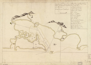
![Copy of a map presented to the Congres [sic]](https://bpldcassets.blob.core.windows.net/derivatives/images/commonwealth:z603vn16x/image_thumbnail_300.jpg)


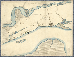
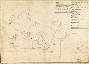
![[Plan de defense de New-Port]](https://bpldcassets.blob.core.windows.net/derivatives/images/commonwealth:z603vn044/image_thumbnail_300.jpg)


![Plan of the city intended for the permanent seat of the government of t[he] United States](https://bpldcassets.blob.core.windows.net/derivatives/images/commonwealth:q524nf917/image_thumbnail_300.jpg)


22. Armstrong County

23. Cawanesque


28. Venango Co
29. W. Br. Pine Cr
![W. Su[q.?] Cr., Bradford Co](https://bpldcassets.blob.core.windows.net/derivatives/images/commonwealth:q524ng417/image_thumbnail_300.jpg)
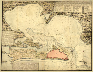
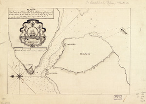
34. Pto. Rico


41. Annapolis Royal


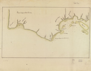
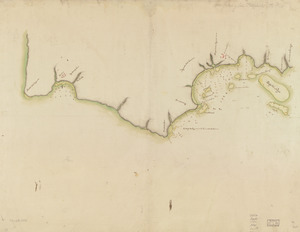
43. Barrington Bay


46. Charlotte Bay
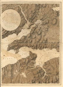
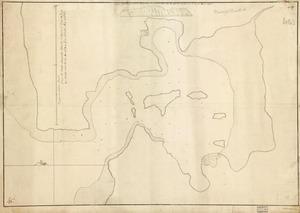
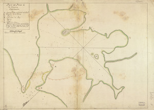
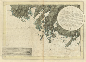
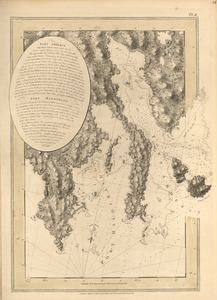
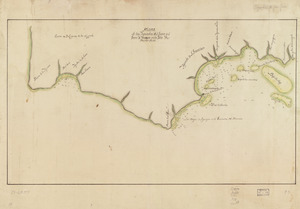
![[Chignecto Bay and vicinity]](https://bpldcassets.blob.core.windows.net/derivatives/images/commonwealth:z603vj91v/image_thumbnail_300.jpg)
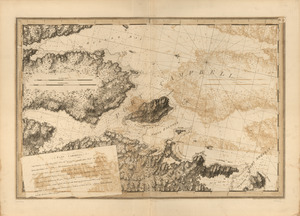
![Combat naval à la hauteur de la Baye de Chézapeake [sic] le 5 7bre. 1781](https://bpldcassets.blob.core.windows.net/derivatives/images/commonwealth:z603vn12t/image_thumbnail_300.jpg)

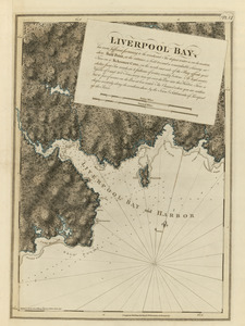
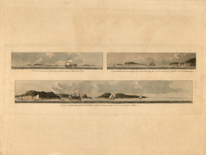
52. Liverpool Bay
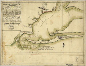
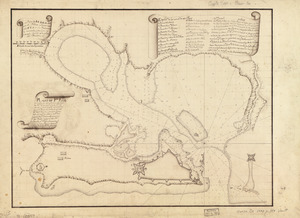
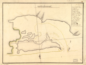
![Plan of the peninsula of Chesopeak [sic] Bay](https://bpldcassets.blob.core.windows.net/derivatives/images/commonwealth:z603vn14c/image_thumbnail_300.jpg)
56. Port Campbell
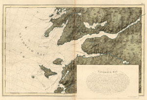
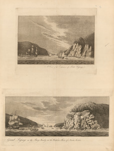
57. Sandwich Bay
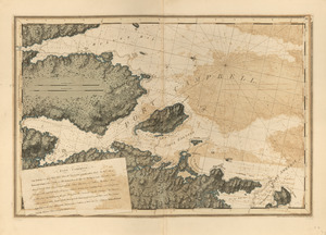
![[Torbay]](https://bpldcassets.blob.core.windows.net/derivatives/images/commonwealth:z603vj992/image_thumbnail_300.jpg)
58. [Torbay]

62. White Haven


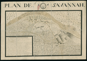
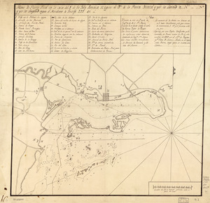
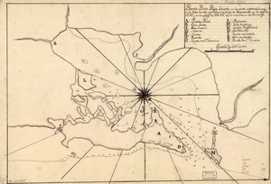
72. Plan de Savannah
82. Port Campbell
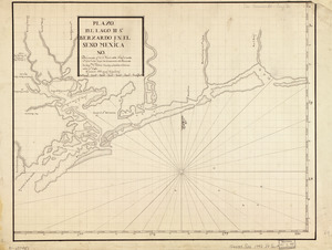
83. Pto. Rico
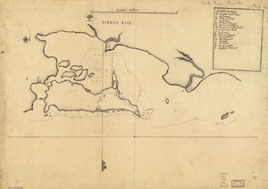
84. Puerto Rico
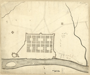
85. Savannah
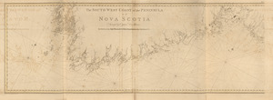
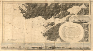
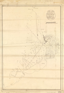
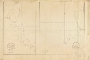
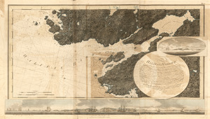
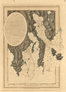
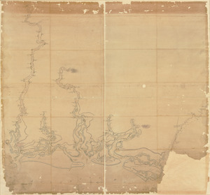
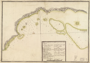
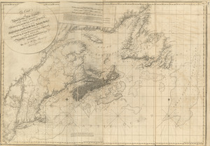
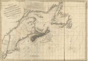
![[Southwest coast of Nova Scotia from Cape Sable to Cape St. Mary]](https://bpldcassets.blob.core.windows.net/derivatives/images/commonwealth:t722hs72c/image_thumbnail_300.jpg)


![[Chignecto Bay and vicinity]](https://bpldcassets.blob.core.windows.net/derivatives/images/commonwealth:z603vj89t/image_thumbnail_300.jpg)


97. Egmont Harbor