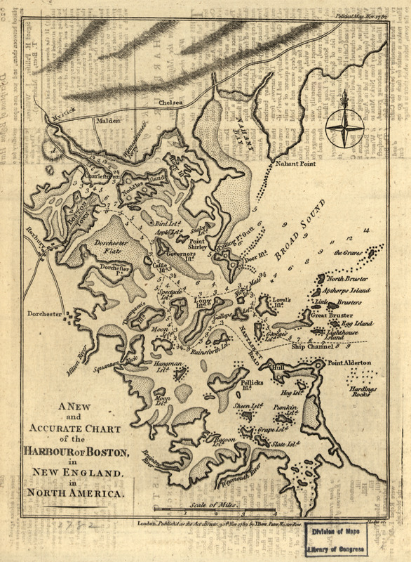
A new and accurate chart of the harbour of Boston in New England in North America
This map is also available in American Revolutionary Geographies Online (ARGO), a collections portal especially built for material relating to the American Revolutionary War Era. Visit ARGO to learn more about this item and explore the historical geography of North America in the late eighteenth century.
Item Information
- Title:
- A new and accurate chart of the harbour of Boston in New England in North America
- Creator:
- Lodge, John, -1796
- Contributor:
- Bew, John, -1793
- Name on Item:
-
J. Lodge, sc.
- Date:
-
1782
- Format:
-
Maps/Atlases
- Location:
- Library of Congress Geography and Map Division
- Collection (local):
-
Library of Congress Geography and Map Division
- Subjects:
-
Boston Harbor (Mass.)--Maps--Early works to 1800
Boston Harbor Islands (Mass.)--Maps--Early works to 1800
Boston Metropolitan Area (Mass.)--Maps--Early works to 1800
- Places:
-
Boston Harbor
Suffolk (county)Boston
- Extent:
- 1 map ; 23 x 17 cm.
- Terms of Use:
-
No known copyright restrictions.
This work is licensed for use under a Creative Commons Attribution Non-Commercial Share Alike License (CC BY-NC-SA).

- Publisher:
-
London :
J. Bew
- Scale:
-
Scale [ca. 1:118,000]
- Language:
-
English
- Catalog Record:
-
https://lccn.loc.gov/2001624923
- Notes:
-
Also shows islands, rocks, channels, shoals, and towns and roads along coast.
Relief shown by hachures. Depths shown by soundings.
In upper right margin: Political Mag., Nov. 1782.
- LCCN:
-
2001624923


