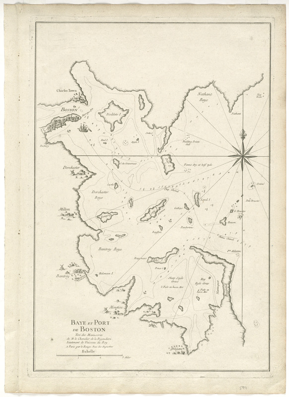
Baye et port de Boston
This map is also available in American Revolutionary Geographies Online (ARGO), a collections portal especially built for material relating to the American Revolutionary War Era. Visit ARGO to learn more about this item and explore the historical geography of North America in the late eighteenth century.
Item Information
- Title:
- Baye et port de Boston
- Creator:
- Le Rouge, Georges-Louis
- Contributor:
- Rigaudiere, Chevalier
- Name on Item:
-
tiré des manuscrits de M. le Chevalier de la Rigaudiere Lieutenant de Vaisseau du Roy.
- Date:
-
[1756]
- Format:
-
Maps/Atlases
- Location:
- George Washington's Mount Vernon
- Collection (local):
-
Richard H. Brown Revolutionary War Map Collection at Mount Vernon
- Subjects:
-
Boston Bay (Mass.)--Maps--Early works to 1800
Boston Harbor (Mass.)--Maps--Early works to 1800
- Places:
-
Boston Harbor
- Extent:
- 1 map ; 50 x 33 cm.
- Terms of Use:
-
No known copyright restrictions.
This work is licensed for use under a Creative Commons Attribution Non-Commercial Share Alike License (CC BY-NC-SA).

- Publisher:
-
Paris :
Le Rouge
- Scale:
-
Scale [ca. 1:54,000]
- Language:
-
French
- Catalog Record:
-
MVLA record
- Notes:
-
Relief shown pictorially.
Depths shown by soundings.
From Le Rouge's Atlas nouveau portatif à l'usage des militaires, et du voyageur.
- Notes (date):
-
This date is inferred.
- Identifier:
-
06_01_008138


