Search Constraints
Search Results

701. T 1980 system map


703. T system map


707. Total foreign-born


![[Plan of lots on Falmouth Street, Boston]](https://bpldcassets.blob.core.windows.net/derivatives/images/commonwealth:1257bb32q/image_thumbnail_300.jpg)


748. McConnell Park


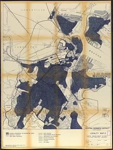
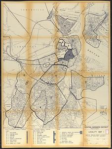
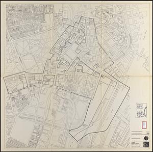
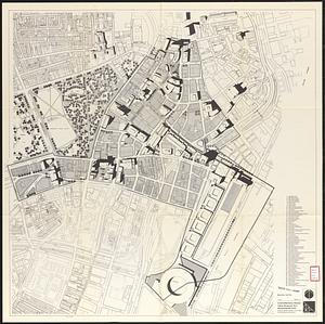
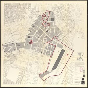
755. Boston

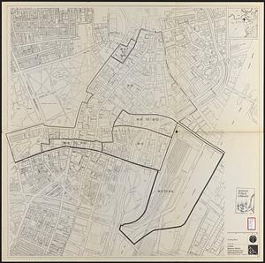
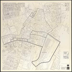
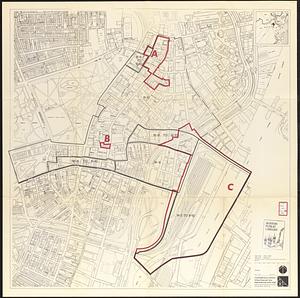
756. Boston

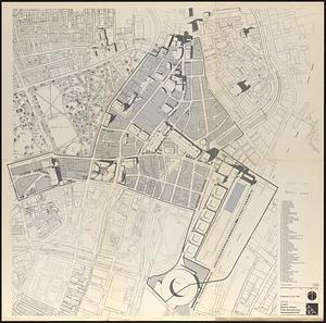
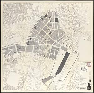
757. Boston


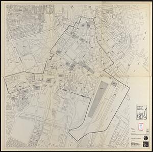
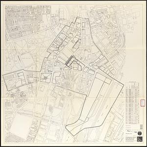
762. Boston I

763. Boston II

764. Boston proper


768. Boston urban wilds


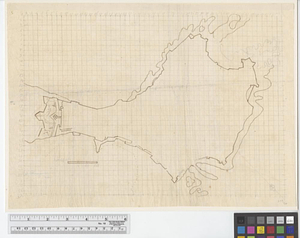
![[Chart of Boston Harbor and the surrounding areas]](https://bpldcassets.blob.core.windows.net/derivatives/images/commonwealth:6108vs71d/image_thumbnail_300.jpg)


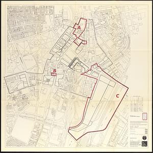
798. Conceptual plan

