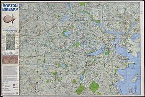
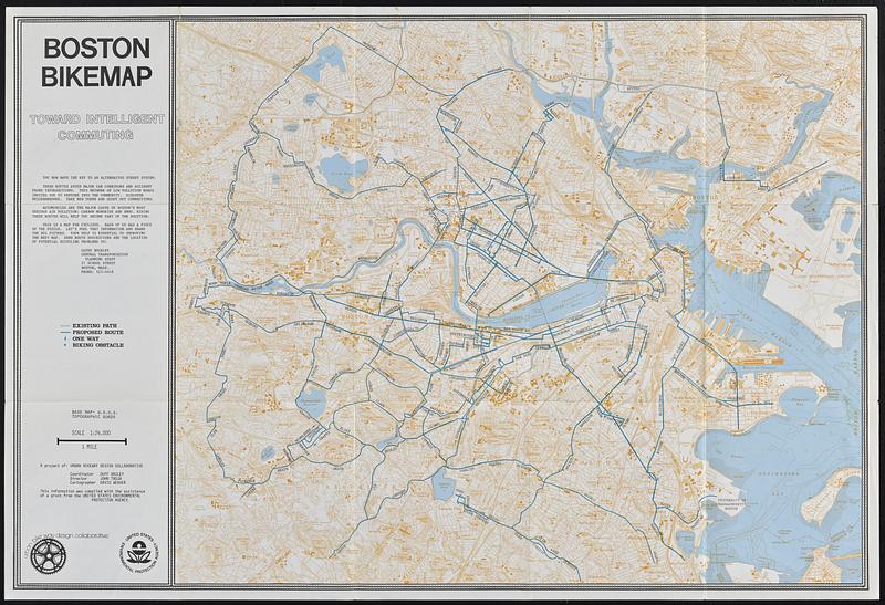
Boston bikemap : toward intelligent commuting
Item Information
- Title:
- Boston bikemap : toward intelligent commuting
- Cartographer:
- Weaver, David Judkins, 1951-
- Publisher:
- Metropolitan Planning Organization (Mass.). Central Transportation Planning Staff
- Contributor:
- Urban Bikeway Design Collaborative
- Name on Item:
-
a project of Urban Bikeway Design Collaborative ; coordinator Duff Bailey ; director John Troja ; cartographer David Weaver
- Date:
-
[ca. 1970–1979]
- Format:
-
Maps/Atlases
- Location:
-
Boston Public Library
Norman B. Leventhal Map & Education Center - Collection (local):
-
David Judkins Weaver Papers
- Subjects:
-
Boston (Mass.)--Maps
Bicycle trails--Massachusetts--Boston--Maps
- Places:
-
MassachusettsSuffolk (county)Boston
- Extent:
- 1 map : color ; 56 x 68 cm folded to 20 x 18 cm
- Terms of Use:
-
No known copyright restrictions.
No known restrictions on use.
- Publisher:
-
[Boston, Mass.] :
Central Transportation Planning Agency
- Scale:
-
Scale 1:24,000
- Language:
-
English
- Notes:
-
Relief shown by contours and spot heights. Depths shown by soundings and isolines.
"Base map: U.S.G.S. topographic quads."
Includes text.
- Identifier:
-
06_01_018854
- Call #:
-
Weaver folder 8 no. 1