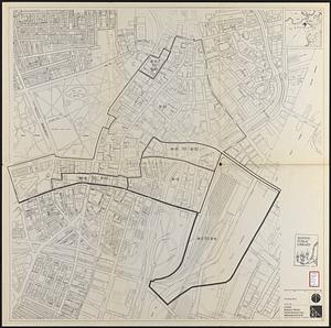
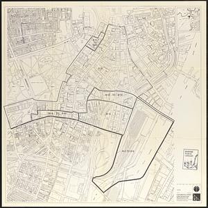
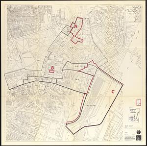
City of Boston zoning map

Item Information
- Title:
- City of Boston zoning map
- Cartographer:
- Boston (Mass.). City Planning Board
- Name on Item:
-
prepared by City Planning Board
- Date:
-
March 15, 1924
- Format:
-
Maps/Atlases
- Location:
-
Boston Public Library
Central Library in Copley Square - Collection (local):
-
Boston Public Library Collection
- Subjects:
-
Zoning--Massachusetts--Boston--Maps
Boston (Mass.)--Maps
- Places:
-
Suffolk (county)Boston
- Extent:
- 11 maps ; sheets 59 x 49 cm
- Terms of Use:
-
No known copyright restrictions.
No known restrictions on use.
- Publisher:
-
[Boston] :
City Planning Board
- Scale:
-
Scales differ
- Language:
-
English
- Table of Contents:
-
Sheet 1, East Boston
Sheet 2, Charlestown and islands ; sheet 2A islands
Sheet 3, Boston proper
Sheet 4, Roxbury
Sheet 5, Brighton
Sheet 6, South Boston
Sheet 7, Dorchester, north
Sheet 8, Dorchester, south
Sheet 9, West Roxbury, north
Sheet 10, West Roxbury, south
Sheet 11, Hyde Park
- Catalog Record:
-
http://bpl.bibliocommons.com/item/show/1023485075
- Identifier:
-
06_01_017186A
06_01_017186B
06_01_017186C
06_01_017186D
06_01_017186E
06_01_017186F
06_01_017186G
06_01_017186H
06_01_017186I
06_01_017186J
06_01_017186K
- Call #:
-
BRA/4501 MAPS
- Barcode:
-
39999065845693