Search Constraints
Search Results


104. Afrika

105. Afrika


107. Afrique

108. Afrique


110. L'Afrique

111. Afrique 1899


119. Ajia tōbu yochizu

120. Alabama


125. The Alaska Railroad

126. Albania


132. Aleutian Archipelago

133. Aleutian Archipelago

134. Aleutian Archipelago


![[Alleen de Caribische Eilanden, vervat in 't groot]](https://bpldcassets.blob.core.windows.net/derivatives/images/commonwealth:st74cw59p/image_thumbnail_300.jpg)


148. Alsace


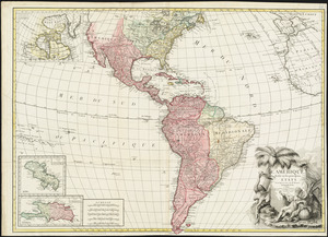
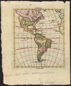
153. America

154. America

155. America


158. America

159. America


161. America meridionalis


172. America settle


179. Americae

180. Americae


184. Americae nova tabula

185. Americae nova tabula


![The American Pilot [title page]](https://bpldcassets.blob.core.windows.net/derivatives/images/commonwealth:3f462z36r/image_thumbnail_300.jpg)

197. Amerika