Allston-Brighton open space plan site inventory
Item Information
- Title:
- Allston-Brighton open space plan site inventory
- Cartographer:
- Boston Redevelopment Authority
- Name on Item:
-
Boston Redevelopment Authority
- Date:
-
[1980–1990]
- Format:
-
Maps/Atlases
- Location:
-
Boston Public Library
Norman B. Leventhal Map & Education Center - Collection (local):
-
Norman B. Leventhal Map & Education Center Collection
- Series:
- Boston Redevelopment Authority Maps & Manuscript Plans Collection
- Subjects:
-
Allston (Boston, Mass.)--Maps
Brighton (Boston, Mass.)--Maps
City planning--Massachusetts--Boston--Maps
Open spaces--Massachusetts--Boston--Maps
- Places:
-
MassachusettsSuffolk (county)BostonAllston
MassachusettsSuffolk (county)BostonBrighton
- Extent:
- 1 map ; 53 x 74 cm
- Terms of Use:
-
No known copyright restrictions.
No known restrictions on use.
- Publisher:
-
[Boston] :
Boston Redevelopment Authority
- Scale:
-
Scale approximately 1:7,440
- Language:
-
English
- Notes:
-
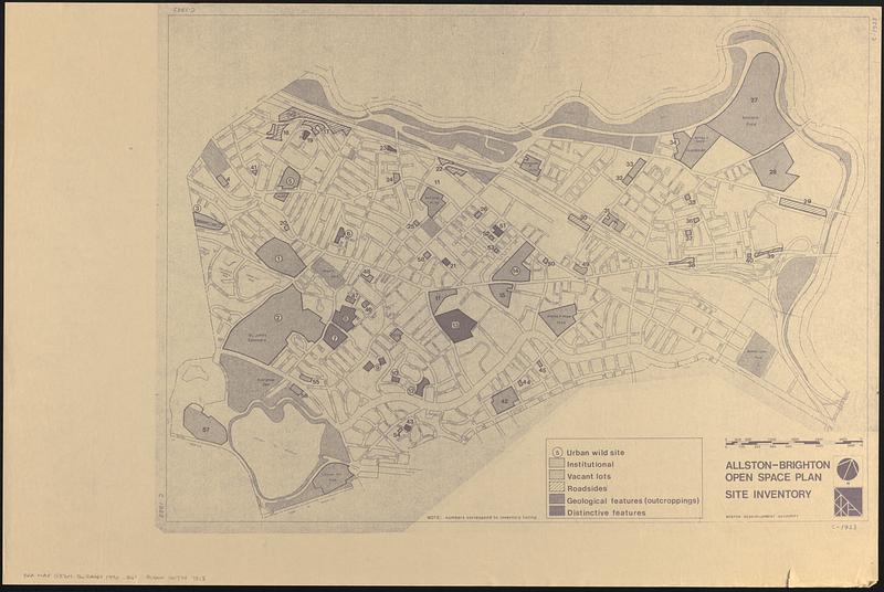
Photocopy of a map showing urban wild sites, institutional, vacant lots, roadsides, geological features (outcroppings) and distinctive features.
Oriented with north to the upper right.
Boston Public Library lacking inventory listing.
- Notes (date):
-
This date is inferred.
- Identifier:
-
06_01_017879
- Call #:
-
BRA MAP FOLDER 31 no.2
- Barcode:
-
30000007747818


