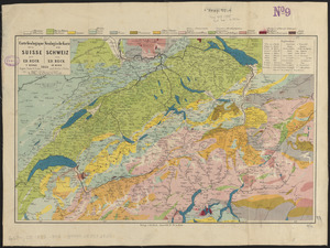
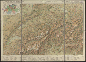
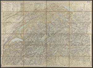
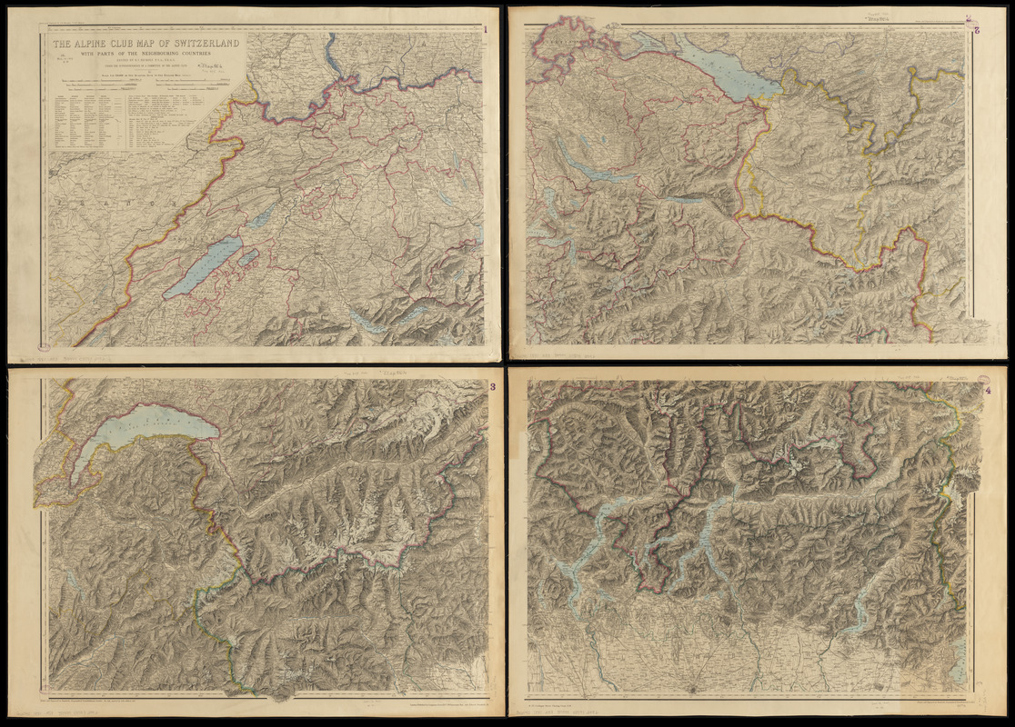
The Alpine Club map of Switzerland with parts of the neighbouring countries
Item Information
- Title:
- The Alpine Club map of Switzerland with parts of the neighbouring countries
- Cartographer:
- Alpine Club (London, England)
- Cartographer:
- Nichols, R. C.
- Engraver:
- Addison, John
- Engraver:
- Johnston, Alexander Keith, 1804-1871
- Engraver:
- Edward Stanford Ltd.
- Name on Item:
-
edited by R.C. Nichols F.S.A., F.R.G.S. under the superintendence of a committee of the Alpine Club
- Date:
-
[ca. 1875–1880]
- Format:
-
Maps/Atlases
- Location:
-
Boston Public Library
Norman B. Leventhal Map & Education Center - Collection (local):
-
Norman B. Leventhal Map & Education Center Collection
- Subjects:
-
Switzerland--Maps
- Places:
-
Switzerland
- Extent:
- 1 map on 4 sheets : color ; 105 x 148 cm, on sheets 80 x 58 cm
- Terms of Use:
-
No known copyright restrictions.
No known restrictions on use.
- Publisher:
-
London :
Published by Longmans, Green & Co. ; Edward Stanford
- Scale:
-
Scale 1:250,000
- Language:
-
English
French
German
Italian
- Notes:
-
Relief shown by shading, hachures and spot heights.
Northeast and southwest sheets: Drawn and engraved at Stanford's, geographical establishment -- The hills engraved by John Addison, Junr. -- 1.5.75, 1.6.80.
Northwest sheet: Drawn and engraved by A.K. Johnston, L.L.D., F.R.G.S. -- 1.5.75.
Southeast sheet: Drawn and engraved at Stanford's geographical establishment -- 1.8.76.
Legend in English, French, German and Italian.
- Identifier:
-
06_01_015173
- Call #:
-
G6040 1880 .A53
- Barcode:
-
39999085932992