Search Constraints
Search Results


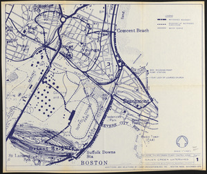
307. T system map


309. Parcel D-10


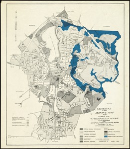
311. City of Boston


315. Acapulco, México


318. Appleton St. Woonerf


330. Parcel 22

333. Printer test page


338. China


340. New Orleans

341. Nuclear America

343. T 1980 system map


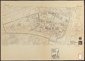
351. Roxbury


356. Adams Nervine Asylum


362. MBTA map : 1977-1978


367. Boston urban wilds


379. Boston proper


386. Wards & precincts


392. Cape Cod


