Boston urban wilds : ownership
Item Information
- Title:
- Boston urban wilds : ownership
- Cartographer:
- Boston Redevelopment Authority
- Name on Item:
-
Boston Redevelopment Authority
- Date:
-
[ca. 1977]
- Format:
-
Maps/Atlases
- Location:
-
Boston Public Library
Norman B. Leventhal Map & Education Center - Collection (local):
-
Norman B. Leventhal Map & Education Center Collection
- Series:
- Boston Redevelopment Authority Maps & Manuscript Plans Collection
- Subjects:
-
Boston (Mass.)--Maps
Natural areas--Massachusetts--Boston--Maps
Nature conservation--Massachusetts--Boston--Maps
Landowners--Massachusetts--Boston--Maps
- Places:
-
MassachusettsSuffolk (county)Boston
- Extent:
- 1 map ; on sheet 108 x 232 cm
- Terms of Use:
-
No known copyright restrictions.
No known restrictions on use.
- Publisher:
-
[Boston] :
Boston Redevelopment Authority
- Scale:
-
Scale approximately 1:14,600
- Language:
-
English
- Notes:
-
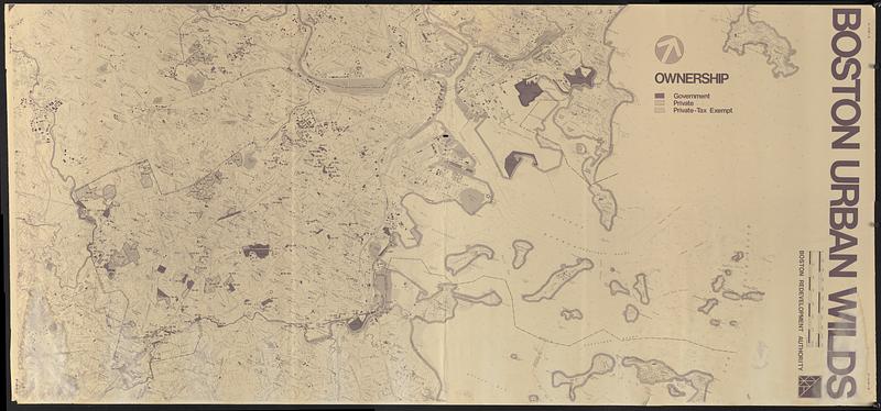
Relief shown by contours and spot heights. Depths shown by soundings and isolines.
Oriented with north to the upper right.
Outlines and labels urban wilds in Boston and surrounding towns, and indicates government, private, or private tax-exempt ownership.
Also shows some buildings.
"E-1814-H."
- Identifier:
-
06_01_018599
- Call #:
-
BRA MAP FOLDER 49 no.3
- Barcode:
-
30000008307627


