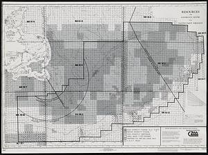
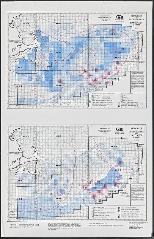
Resources on Georges Bank and Nantucket Shoals
Item Information
- Title:
- Resources on Georges Bank and Nantucket Shoals
- Cartographer:
- Massachusetts Coastal Zone Management Office
- Name on Item:
-
Massachusetts Executive Office of Environmental Affairs ; Coastal Zone Management
- Date:
-
[1976]
- Format:
-
Maps/Atlases
- Location:
-
Boston Public Library
Norman B. Leventhal Map & Education Center - Collection (local):
-
David Judkins Weaver Papers
- Subjects:
-
Georges Bank--Maps
Offshore oil industry--Georges Bank--Maps
Fisheries--Georges Bank--Maps
Natural resources--Georges Bank--Maps
- Places:
-
MassachusettsGeorges Bank (area)
- Extent:
- 2 maps on 1 sheet : color ; 35 x 51 cm on sheet 87 x 56 cm
- Terms of Use:
-
No known copyright restrictions.
No known restrictions on use.
- Publisher:
-
[Boston] :
Massachusetts Executive Office of Environmental Affairs
- Scale:
-
Scale approximately 1:900,000
- Language:
-
English
- Table of Contents:
-
Plate 1. [Domestic fishing tonnage and spawning grounds]
Plate 2. [Trawling grounds]
- Notes:
-
Depths shown by soundings and isolines.
"Some information compiled by New England Regional Commission ... Fishing and petroleum interactions on Georges Bank, 1976, vol. 1."
Base map: C & GS chart 1107.
- Notes (date):
-
This date is inferred.
- Identifier:
-
06_01_018796
- Call #:
-
Weaver folder 12 no. 7