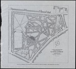
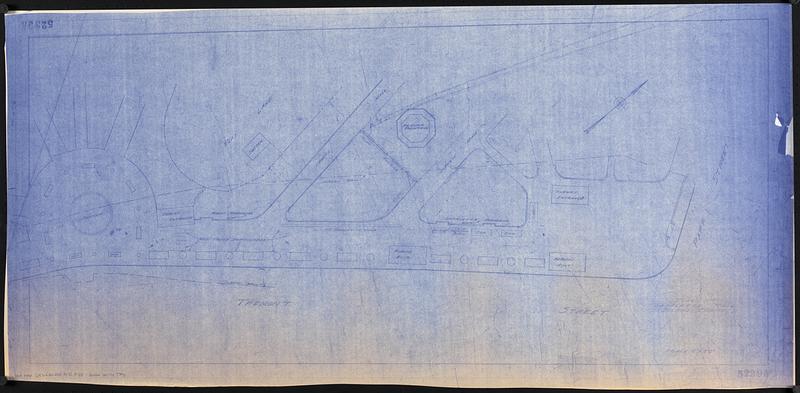
Plan of Lafayette Mall (Boston Common)
Item Information
- Title:
- Plan of Lafayette Mall (Boston Common)
- Cartographer:
- Boston (Mass.). Parks and Recreation Department
- Date:
-
[ca. 1975]
- Format:
-
Maps/Atlases
- Location:
-
Boston Public Library
Norman B. Leventhal Map & Education Center - Collection (local):
-
Norman B. Leventhal Map & Education Center Collection
- Series:
- Boston Redevelopment Authority Maps & Manuscript Plans Collection
- Subjects:
-
City planning--Massachusetts--Boston--Maps
Boston Common (Boston, Mass.)--Planning--Maps
- Places:
-
MassachusettsSuffolk (county)Boston
Boston Common
- Extent:
- 1 map ; 43 x 98 cm
- Terms of Use:
-
No known copyright restrictions.
No known restrictions on use.
- Publisher:
-
[Boston] :
[Parks and Recreation Department]
- Scale:
-
Scale 1:240. 1" = 20'
- Language:
-
English
- Notes:
-
Layout for an event in Boston Common, showing locations of wood police barricades, tables, boat, trip sign and cars.
Oriented with north to the upper right.
- Identifier:
-
06_01_017840
- Call #:
-
BRA MAP FOLDER 33 no.7
- Barcode:
-
30000007747793