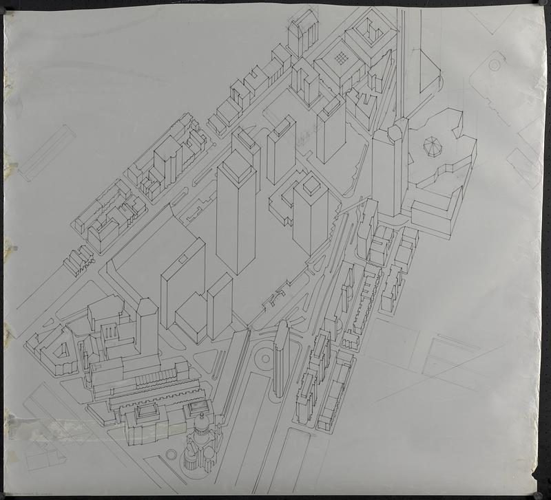
Outline map and view of the Prudential Center area

Item Information
- Title:
- Outline map and view of the Prudential Center area
- Cartographer:
- Boston Redevelopment Authority
- Date:
-
[1980–1989]
- Format:
-
Maps/Atlases
- Genre:
-
Aerial views
Outline maps
Manuscript maps
- Location:
-
Boston Public Library
Norman B. Leventhal Map & Education Center - Collection (local):
-
Norman B. Leventhal Map & Education Center Collection
- Series:
- Boston Redevelopment Authority Maps & Manuscript Plans Collection
- Subjects:
-
Back Bay (Boston, Mass.)--Maps
Back Bay (Boston, Mass.)--Aerial views
Buildings--Massachusetts--Boston--Maps
Prudential Center (Boston, Mass.)
- Places:
-
MassachusettsSuffolk (county)BostonBack Bay
- Extent:
- 2 manuscript maps and 1 view : on plastic and paper ; sheets 92 x 132 cm or smaller
- Terms of Use:
-
No known copyright restrictions.
No known restrictions on use.
- Publisher:
-
[Boston] :
[Boston Redevelopment Authority]
- Language:
-
English
- Notes:
-
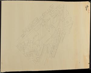
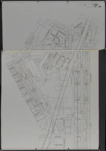
Manuscript view of building outlines in pencil and ink on translucent mylar; photocopy of the manuscript view; and manuscript map in ink on translucent mylar with street names on adhesive labels and graphic arts tape indicating the path of the Green Line.
- Notes (date):
-
This date is inferred.
- Identifier:
-
06_01_018593A
06_01_018593B
06_01_018593C
- Call #:
-
BRA MAP FOLDER 51
- Barcode:
-
30000008307637


