Search Constraints
Search Results


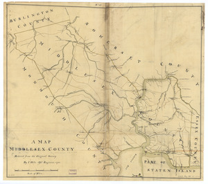
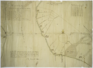
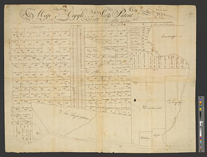
4706. A map, Middlesex County

4707. Map New England


4709. Map no. 245

4710. Map no. I


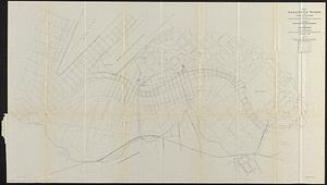
![[Map of a part of Boston]](https://bpldcassets.blob.core.windows.net/derivatives/images/commonwealth:9s161h10b/image_thumbnail_300.jpg)
![[Map of a part of Boston]](https://bpldcassets.blob.core.windows.net/derivatives/images/commonwealth:9s161j60r/image_thumbnail_300.jpg)


4731. Map of a woman's heart
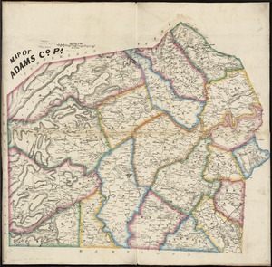
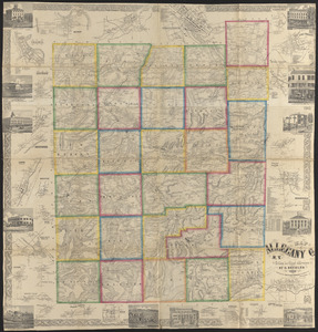
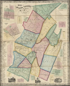
4732. Map of Adams Co., Pa


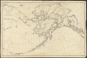
4737. Map of Alaska


4739. Map of Alaska

4740. Map of Alaska


4751. Map of Arizona Territory


4761. Map of Bar Harbor, Maine

4762. Map of Bath, Maine


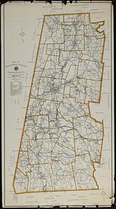
![[Map of Berkshire County]](https://bpldcassets.blob.core.windows.net/derivatives/images/commonwealth:wd376641h/image_thumbnail_300.jpg)


4768. Map of Beverly

![[Map of Boston]](https://bpldcassets.blob.core.windows.net/derivatives/images/commonwealth:z603vw17n/image_thumbnail_300.jpg)
4771. [Map of Boston]


4773. Map of Boston

4774. Map of Boston


4777. Map of Boston

4778. Map of Boston


4780. Map of Boston

4781. Map of Boston

4782. Map of Boston


4785. Map of Boston

4786. Map of Boston


4790. Map of Boston 1872


