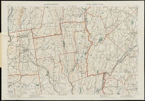
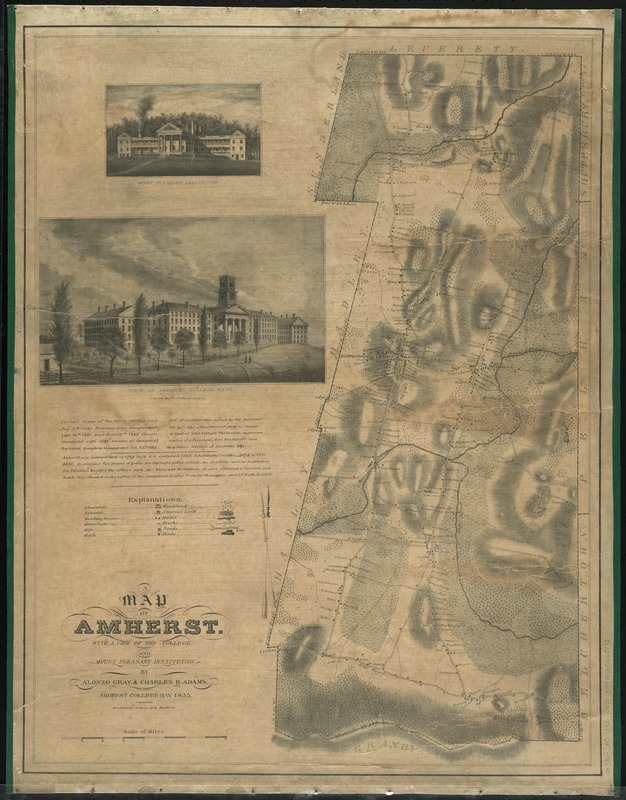
A map of Amherst with a view of the college and Mount Pleasant Institution
Item Information
- Title:
- A map of Amherst with a view of the college and Mount Pleasant Institution
- Creator:
- Gray, Alonzo, 1808-1860
- Name on Item:
-
by Alonzo Gray & Charles B. Adams.
- Date:
-
1833
- Format:
-
Maps/Atlases
- Location:
-
Boston Public Library
Norman B. Leventhal Map & Education Center - Collection (local):
-
Norman B. Leventhal Map & Education Center Collection
- Series:
- Caldwell Collection of Massachusetts Town Plans
- Subjects:
-
Amherst College--Pictorial works
Mount Pleasant Institute (Amherst, Mass.)--Pictorial works
Real property--Massachusetts--Amherst--Maps
Landowners--Massachusetts--Amherst--Maps
Amherst (Mass.)--Maps
- Places:
-
MassachusettsHampshire (county)Amherst
Amherst College
- Extent:
- 1 map ; 71 x 54 cm.
- Terms of Use:
-
No known copyright restrictions.
No known restrictions on use.
- Publisher:
-
Boston :
Pendleton's Lithography
- Scale:
-
Scale [ca. 1:20,000]
- Language:
-
English
- Notes:
-
Relief shown by hachures.
Includes notes on the history of Amherst and Amherst College; illustrations of Mount Pleasant Institution and Amherst College; explanation of symbols (legend).
Includes residences with names of property owners.
- Identifier:
-
06_01_009644
- Call #:
-
G3764.A5 1833 .G73
- Barcode:
-
39999065663773