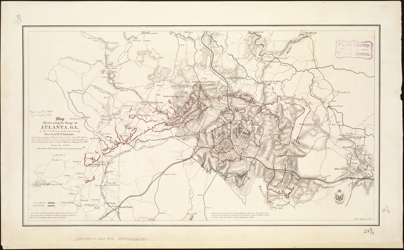
Map illustrating the siege of Atlanta, Ga. by the U.S. forces, under command of Maj. Gen. W.T. Sherman : from the passage of Peach Tree Creek, July 19th, 1864 to the commencement of the movement upon the enemy's lines of communication south of Atlanta, August 26, 1864
Item Information
- Title:
- Map illustrating the siege of Atlanta, Ga. by the U.S. forces, under command of Maj. Gen. W.T. Sherman : from the passage of Peach Tree Creek, July 19th, 1864 to the commencement of the movement upon the enemy's lines of communication south of Atlanta, August 26, 1864
- Creator:
- Poe, O. M. (Orlando Metcalfe), 1832-1895
- Name on Item:
-
reduced and engraved in the Engineer Bureau, War Dept. from an original prepared under the directions of Cap. O.M. Poe, Corps of Engs. and Senr. Engr. on Gen'l Sherman's staff.
- Date:
-
[1864?]
- Format:
-
Maps/Atlases
- Location:
-
Boston Public Library
Norman B. Leventhal Map & Education Center - Collection (local):
-
Norman B. Leventhal Map & Education Center Collection
- Subjects:
-
Atlanta Campaign, 1864--Maps
Atlanta (Ga.)--History--19th century--Maps
Sherman, William T. (William Tecumseh), 1820-1891
July 19, 1864–August 26, 1864
- Places:
-
GeorgiaFulton (county)Atlanta
- Extent:
- 1 map : hand col. ; 29 x 53 cm.
- Terms of Use:
-
No known copyright restrictions.
No known restrictions on use.
- Publisher:
-
[Washington, D.C.?] :
U.S. War Dept., Engineer Bureau
- Scale:
-
Scale [1:47,520]. 4 in. = 3 miles.
- Language:
-
English
- Notes:
-
Relief shown by hachures and spot heights.
Main entry from Stephenson's Civil War maps, 1989.
Includes note.
- Identifier:
-
06_01_006564
- Call #:
-
G3924.A8S5 1864 .P64
- Barcode:
-
39999059026581
- LCCN:
-
2006459233

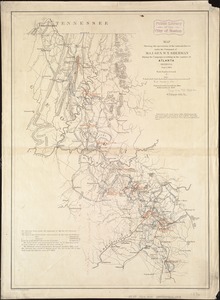
![Map[s] illustrating the military operations of the Atlanta campaign ... 1864](https://bpldcassets.blob.core.windows.net/derivatives/images/commonwealth:3f463432v/image_thumbnail_300.jpg)

