Toggle navigation
LMEC Home
Exhibitions
Georeferencing
Tools for Teachers
Collections
My Favorites
Sign Up / Log In
Search
Search the map portal
Map Collection
Map Collection
Map Sets
Search
Search
Search for
Search In
All Fields
Creator
Title
Subject
Place
Search All Digital Collections
Advanced Search
160 Results
My Search
Start Over
1860
Remove constraint 1860
Filter your Search
Place
North and Central America
97
United States
72
Europe
21
Canada
14
Boston
12
Suffolk (county)
12
New York
7
Massachusetts
6
more
Place
»
Topic
Boston (Mass.)--Maps
11
New England--Maps
6
United States--Maps
6
Canada--Boundaries--United States--Maps
5
United States--Boundaries--Canada--Maps
5
Southern States--Maps
4
Switzerland--Maps
4
United States--History--Civil War, 1861-1865--Maps
4
more
Topic
»
Date
Date range begin
–
Date range end
Current results range from
1702
to
1932
View distribution
Creator
Bartholomew, J. G. (John George), 1860-1920
10
Moore, John Bassett, 1860-1947
8
United States. Congress (53rd, 2nd session : 1893-1894). House
8
E.P. Dutton (Firm)
6
United States. Hydrographic Office
6
Boston (Mass.). Engineering Dept
4
J.M. Dent & Sons
4
United States Coast Survey
4
more
Creator
»
Format
Maps/Atlases
157
Manuscripts
6
Prints
2
Drawings/Illustrations
1
Posters
1
Georeferenced
Yes
24
No
136
Collection
Norman B. Leventhal Map Center Collection
155
Boston and New England Maps
31
Urban Maps
25
Maritime Charts and Atlases
15
American Revolutionary War-Era Maps
2
Mapping Boston Collection
2
American Antiquarian Society Collection
1
Lucius Beebe Memorial Library Historic Maps
1
more
Collection
»
Available to use
No known restrictions
152
Creative Commons license
4
Search Constraints
Sort by date (desc)
relevance
title
date (asc)
date (desc)
Number of results to display per page
50 per page
10
per page
20
per page
50
per page
100
per page
View results as:
grid view
map view
Search Results
1.
Density of population, 1860
2.
Presidential election 1860
3.
Property qualifications for suffrage, 1860
4.
The facts of prohibition in the United States
5.
Map of the surface formations of the southern peninsula of Michigan
6.
Africa January rainfall -- Africa July rainfall
7.
Africa vegetation
8.
Egyptian Empire B.C. 1450
9.
Kingdom of the Caliphs
10.
National Geographic Magazine map of China and its territories
11.
The National Geographic magazine map of the countries bordering the Mediterranean Sea
12.
Political map of the Balkan States
13.
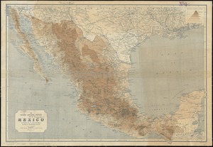
The National Geographic Magazine map of Mexico
14.
Maps of the Far East, illustrating Russo-Japanese War
15.
Map of Boston Common and Public Garden
16.
Plan of the town of Quebec, the capital of Canada in North America, with the Bason and a part of the adjacent country shewing...
17.
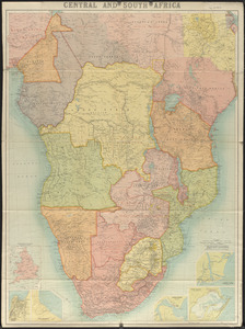
Central and South Africa
18.
Map of North America showing the two lines of frontier as settled in October and November 1782 respectively by Mr. Oswald, the...
19.
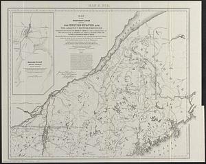
Map of the boundary lines between the United States and the adjacent British provinces from the mouth of the River St. Croix to...
20.
New Brunswick, Nova Scotia, Newfoundland, and Prince Edward Id.
21.
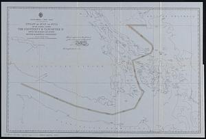
North America--west coast, Strait of Juan de Fuca and the channels between the continent & Vancouver Id. showing the boundary...
22.
The s.e. coast of the United States and its relation to the British West India colonies
23.
Section of a track chart of the world, covering the Behring Sea
24.
Sketch map of the British coast showing the relative positions of Liverpool, Beaumaris, Moelfra Bay & Point Lynas (taken from...
25.
Washington Sound and approaches, Washington Territory, 1866
26.
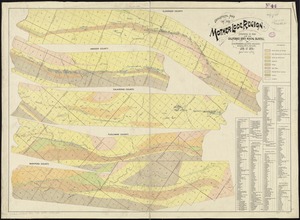
Geological map of the Mother Lode region
27.
Vineyard Sound and Buzzards Bay, Massachusetts
28.
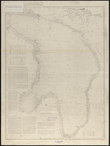
General chart of Lake Huron
29.
North end of Lake Michigan including Green Bay and the straits of Mackinac
30.
Thunder Bay, Lake Huron
31.
West Indies, ports and anchorages at the eastern end of Cuba : from Spanish government surveys in 1860-74
32.
South Weymouth, Norfolk County, Mass. 1885 : from the fair grounds
33.
How the public domain has been squandered, map showing the 139,403,026 acres of the people's land - equal to 871,268 farms of...
34.
Carta universal en que se contiene todo lo que del mundo se ha descubierto fasta agora
35.
G. Woolworth Colton's railroad, township & distance map of New England : with adjacent portions of New York, Canada & New...
36.
Arabia, n.e. coast, Gulf of 'Omman, Maskat & Matreh : from British surveys in 1828, 1849 & 1860 : republication of the British...
37.
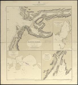
Harbors on the west coast of Newfoundland : republication of Brit. Admty. charts no. 2918 & 7121, corrected to 1874
38.
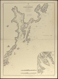
N. America--east coast, Newfoundland--south coast, Burin Harbors
39.
North America, east coast, harbors on the south coast of Newfoundland : republication of Brit. Admty. charts nos. 2829, 301,...
40.
Post route map of the states of New Hampshire, Vermont, Massachusetts, Rhode Island, Connecticut, and parts of New York and Maine
41.
Commercial map of New England
42.
Post route map of the states of New Hampshire, Vermont, Massachusetts, Rhode Island, Connecticut, and parts of New York and Maine
43.
The United States southern part : from the latest surveys
44.
Map of Andersonville, Sumter Co., Georgia
45.
G. Woolworth Colton's railroad, township & distance map of New England with adjacent portions of New York, Canada & New Brunswick
46.
Historical sketch of the rebellion
47.
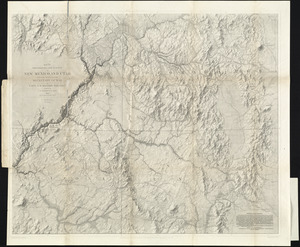
Map of explorations and surveys in New Mexico and Utah made under the direction of the Secretary of War by Capt. J. N. Macomb...
48.
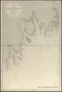
North America--east coast, Nova Scotia--south east coast, Baccaro Point to Ram Island
49.
Chicago
50.
Fort Wagner and its approaches
‹ Prev
Next ›
1
2
3
4