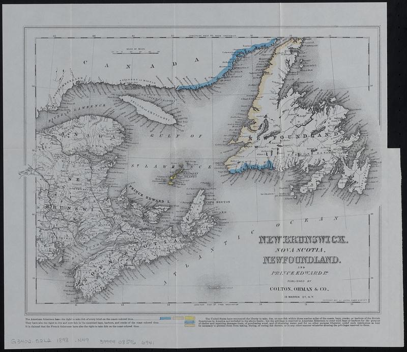
New Brunswick, Nova Scotia, Newfoundland, and Prince Edward Id.
Item Information
- Title:
- New Brunswick, Nova Scotia, Newfoundland, and Prince Edward Id.
- Contributor:
- Moore, John Bassett, 1860-1947
- Contributor:
- United States. Congress (53rd, 2nd session : 1893-1894). House
- Publisher:
- Colton, Ohman & Co.
- Date:
-
[1898]
- Format:
-
Maps/Atlases
- Location:
-
Boston Public Library
Norman B. Leventhal Map & Education Center - Collection (local):
-
Norman B. Leventhal Map & Education Center Collection
- Subjects:
-
Saint Lawrence, Gulf of--Maps
Fishery law and legislation--Saint Lawrence, Gulf of--Maps
- Places:
-
CanadaSaint Lawrence, Gulf of
- Extent:
- 1 map : color ; 29 x 39 cm
- Terms of Use:
-
No known copyright restrictions.
No known restrictions on use.
- Publisher:
-
[Washington] :
[Government Printing Office]
- Scale:
-
Scale approximately 1:3,000,000
- Language:
-
English
- Notes:
-
Prime meridians: Greenwich and Washington.
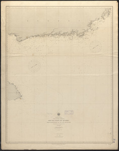
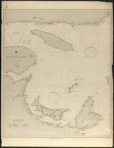
Shows American and French fishing rights in the Gulf of St. Lawrence on the coasts of Newfoundland, Labrador, Québec and Iles-de-la-Madeleine.
Detached from House of Representatives 53d congress, 2d session, mis. doc. no. 212. History and digest of the international arbitrations to which the United States has been a party volume I (Washington : Government Printing Office, 1898).
- Notes (date):
-
This date is inferred.
- Identifier:
-
06_01_018403
- Call #:
-
G3402.S2L2 1898 .N49
- Barcode:
-
39999085966941