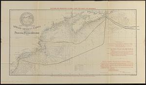
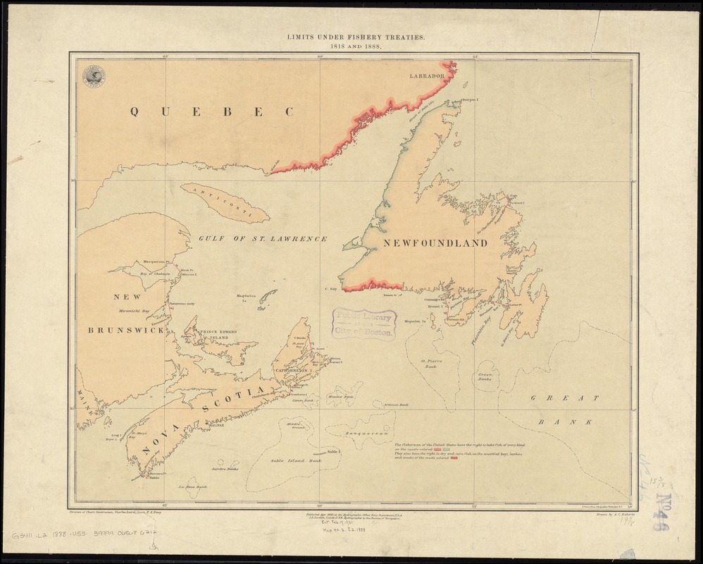
Limits under fishery treaties, 1818 and 1888
Item Information
- Title:
- Limits under fishery treaties, 1818 and 1888
- Creator:
- United States. Hydrographic Office
- Name on Item:
-
Hydrographic Office, U.S. Navy ; drawn by A.C. Roberts ; Division of Chart Construction, Charles Laird, Lieut., U.S. Navy.
- Date:
-
1888
- Format:
-
Maps/Atlases
- Location:
-
Boston Public Library
Norman B. Leventhal Map & Education Center - Collection (local):
-
Norman B. Leventhal Map & Education Center Collection
- Subjects:
-
Fisheries--Grand Banks of Newfoundland--Maps
Fisheries--Saint Lawrence, Gulf of--Maps
Grand Banks of Newfoundland--Maps
Saint Lawrence, Gulf of--Maps
Atlantic Provinces--Maps
Atlantic Coast (Canada)--Maps
- Places:
-
CanadaSaint Lawrence, Gulf of
Grand Banks of Newfoundland
- Extent:
- 1 map : col. ; 41 x 50 cm.
- Terms of Use:
-
No known copyright restrictions.
No known restrictions on use.
- Publisher:
-
Washington, D.C :
[G.P.O.]
- Scale:
-
Scale [ca. 1:2,750,000]
- Language:
-
English
- Notes:
-
Accompanies Senate Doc. 231, 56 2.
"Published Apr. 1888 at the Hydrographic Office, Navy Department, U.S.A., J.R. Bartlett, Comdr. U.S.N., Hydrographer to the Bureau of Navigation."
- Identifier:
-
06_01_011582
- Call #:
-
G3411.L2 1888 .U55
- Barcode:
-
39999065686212