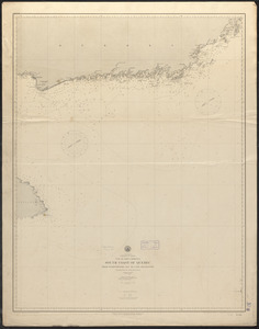
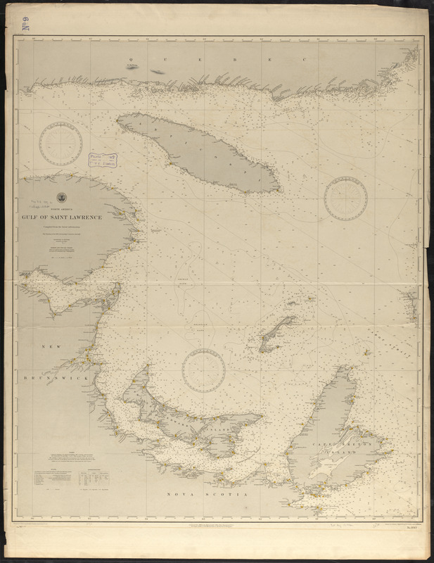
North America, Gulf of Saint Lawrence : compiled from the latest information
Item Information
- Title:
- North America, Gulf of Saint Lawrence : compiled from the latest information
- Title (alt.):
-
Gulf of Saint Lawrence
- Issuing body:
- United States. Hydrographic Office
- Draftsman:
- Dessez, L. (Leon)
- Engraver:
- Sefton, W. P. (William P.)
- Engraver:
- Waddey, J. A. (John A.)
- Name on Item:
-
drawn by L. Dessez, engraved by W.P. Sefton and J.A. Waddey
- Date:
-
1889
- Format:
-
Maps/Atlases
- Location:
-
Boston Public Library
Norman B. Leventhal Map & Education Center - Collection (local):
-
Norman B. Leventhal Map & Education Center Collection
- Subjects:
-
Nautical charts--Saint Lawrence, Gulf of
Saint Lawrence, Gulf of--Maps
- Places:
-
CanadaSaint Lawrence, Gulf of
- Extent:
- 1 map : hand colored ; 93 x 79 cm
- Terms of Use:
-
No known copyright restrictions.
No known restrictions on use.
- Publisher:
-
[Washington, D.C.] :
Hydrographic Office
- Scale:
-
Scale approximately 1:685,000
- Language:
-
English
- Notes:
-
Relief shown by hachures and spot heights. Depths shown by soundings and form lines.
Manuscript in ink after Cor.: '89-1-13.
- Identifier:
-
06_01_015536
- Call #:
-
G9096.P5 svar .U55
- Barcode:
-
39999085937397