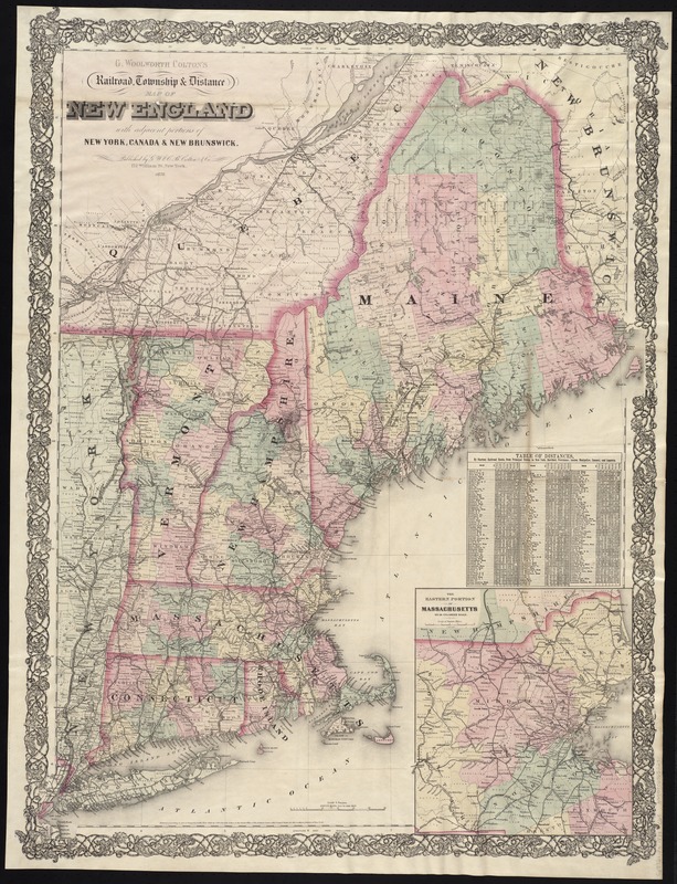
G. Woolworth Colton's railroad, township & distance map of New England : with adjacent portions of New York, Canada & New Brunswick
Item Information
- Title:
- G. Woolworth Colton's railroad, township & distance map of New England : with adjacent portions of New York, Canada & New Brunswick
- Title (alt.):
-
Railroad, township & distance map of New England
Railroad, township and distance map of New England
G. Woolworth Colton's county & township railroad map of New England showing every station &c
- Creator:
- Colton, G. Woolworth (George Woolworth), 1827-1901
- Date:
-
1878
- Format:
-
Maps/Atlases
- Location:
-
Boston Public Library
Norman B. Leventhal Map & Education Center - Collection (local):
-
Norman B. Leventhal Map & Education Center Collection
- Subjects:
-
Railroads--New England--Maps
New England--Maps
- Places:
-
New England (area)
- Extent:
- 1 map : hand col. ; 87 x 66 cm., folded in cover 16 x 10 cm.
- Terms of Use:
-
No known copyright restrictions.
No known restrictions on use.
- Publisher:
-
New York :
G.W. and C.B. Colton & Co.
- Scale:
-
Scale 1:900,000
- Language:
-
English
- Notes:
-
Relief shown by hachures.
"Entered according to Act of Congress, in the year 1860, by G. Woolworth Colton in the Clerk's Office of the District Court of the United States for the Southern District of New York."
Prime meridians: Greenwich, Washington, D.C.
Inset: The eastern portion of Massachusetts on an enlarged scale.
Includes table of distances.
Gift; Richard H. Brown; 2012. BRL
- Identifier:
-
06_01_008331
- Call #:
-
G3721.P3 1878 .C65
- Barcode:
-
39999065652271


