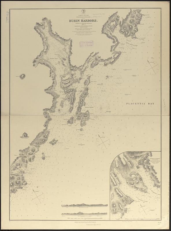
N. America--east coast, Newfoundland--south coast, Burin Harbors
Item Information
- Title:
- N. America--east coast, Newfoundland--south coast, Burin Harbors
- Issuing body:
- United States. Hydrographic Office
- Surveyor:
- Orlebar, J., 1810-1891
- Name on Item:
-
surveyed by Commander Orlebar, R.N., 1860-1 ; republication of Brit. Admty. chart no. 2900, corrected to 1874
- Date:
-
1874
- Format:
-
Maps/Atlases
- Genre:
-
Nautical charts
- Location:
-
Boston Public Library
Norman B. Leventhal Map & Education Center - Collection (local):
-
Norman B. Leventhal Map & Education Center Collection
- Subjects:
-
Great Burin Harbour (N.L.)--Maps
Little Burin Harbour (N.L.)--Maps
Burin Island (N.L.)--Maps
Great Saint Lawrence Harbour (N.L.)--Maps
Little Saint Lawrence Harbour (N.L.)--Maps
Coasts--Newfoundland and Labrador--Maps
Nautical charts--Newfoundland and Labrador--Great Burin Harbour
Nautical charts--Newfoundland and Labrador--Little Burin Harbour
Nautical charts--Newfoundland and Labrador--Great Saint Lawrence Harbour
Nautical charts--Newfoundland and Labrador--Little Saint Lawrence Harbour
- Places:
-
CanadaNewfoundland and Labrador (province)Burin Island (island)
Great Burin Harbour
Little Burin Harbour
Great St. Lawrence Harbour
Little St. Lawrence Harbour
- Extent:
- 1 map ; 89 x 64 cm
- Terms of Use:
-
No known copyright restrictions.
No known restrictions on use.
- Publisher:
-
Washington, D.C. :
Hydrographic Office
- Scale:
-
Scale approximately 1:25,300
- Language:
-
English
- Notes:
-
Relief shown by hachures and spot heights. Depths shown by soundings and isolines.
Includes inset, illustration of Burin Lighthouse and 2 coastal views.
Inset: St. Lawrence Harbors.
- Identifier:
-
06_01_017032
- Call #:
-
G9096.P5 svar .U55 no. 627
- Barcode:
-
39999085953956


