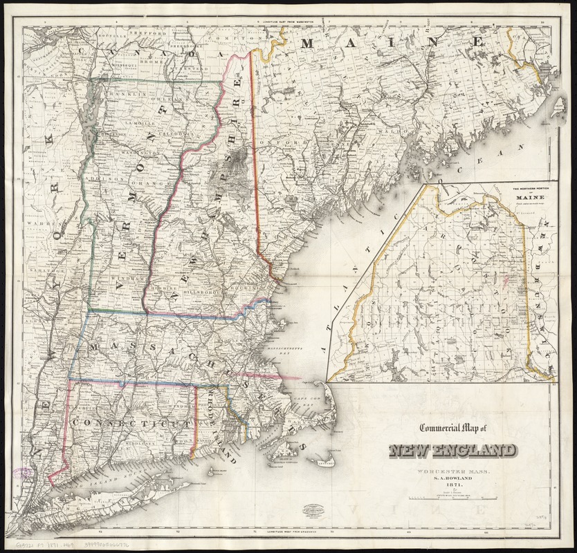
Commercial map of New England
Item Information
- Title:
- Commercial map of New England
- Title (alt.):
-
Commercial travelers' pocket map of New England, eastern New York and Long Island : together with a complete census of the New England states in 1860 and 1870
- Creator:
- Howland, S. A. (Southworth Allen), 1800-1882
- Name on Item:
-
S.A. Howland.
- Date:
-
1871
- Format:
-
Maps/Atlases
- Location:
-
Boston Public Library
Norman B. Leventhal Map & Education Center - Collection (local):
-
Norman B. Leventhal Map & Education Center Collection
- Subjects:
-
Cities and towns--New England--Maps
New England--Maps
New England--Administrative and political divisions--Maps
- Places:
-
New England (area)
- Extent:
- 1 map : col. ; 61 x 66 cm. + 1 booklet (18, [14] p. ; 18 cm.)
- Terms of Use:
-
No known copyright restrictions.
No known restrictions on use.
- Publisher:
-
Worcester, Mass :
S.A. Howland
- Scale:
-
Scale 1:900,000
- Language:
-
English
- Notes:
-
Relief shown by hachures.
Prime meridians: Greenwich and Washington.
Shows town and county boundaries and railroads.
State boundaries outlined in color.
Continuation inset: The northern portion of Maine.
Accompanied by Census of New England 1860 - 1870 (18 p.).
- Identifier:
-
06_01_009947
- Call #:
-
G3721.F7 1871 .H69
- Barcode:
-
39999065666776


