Toggle navigation
LMEC Home
Exhibitions
Georeferencing
Tools for Teachers
Collections
My Favorites
Sign Up / Log In
Search
Search the map portal
Map Collection
Map Collection
Map Sets
Search
Search
Search for
Search In
All Fields
Creator
Title
Subject
Place
Search All Digital Collections
Advanced Search
75 Results
My Search
Start Over
1905
Remove constraint 1905
Filter your Search
Place
North and Central America
47
United States
34
Essex (county)
7
Boston
5
Suffolk (county)
5
Canada
4
Lynn
4
Massachusetts
4
more
Place
»
Topic
Lynn (Mass.)--Maps
3
Southern States--Maps
3
United States--Maps
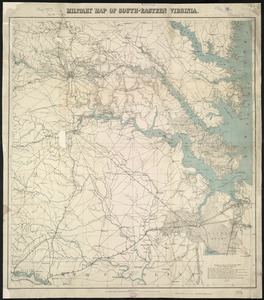
3
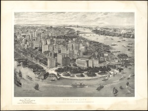
West Roxbury (Boston, Mass.)--Maps
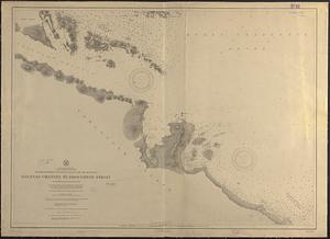
3
Boston (Mass.)--Maps
2
East Asia--Maps
2
Indian reservations--United States--Maps
2
Indians of North America--Land tenure--Maps
2
more
Topic
»
Date
Date range begin
–
Date range end
Current results range from
1837
to
1941
View distribution
Creator
Geo. H. Walker & Co.
5
United States. Hydrographic Office
5
Noetzel, G. (Gregor)
3
Aguirre, A. A. (Antonio A.)
2
Bromley, George Washington
2
Bromley, Walter Scott
2
Fisk, E. F.
2
Geo. H. Walker & Co
2
more
Creator
»
Format
Maps/Atlases
74
Objects/Artifacts
2
Prints
1
Georeferenced
Yes
7
No
68
Collection
Norman B. Leventhal Map Center Collection
71
Boston and New England Maps
11
Urban Maps
7
Maritime Charts and Atlases
5
Massachusetts Real Estate Atlases
3
Town plans, 1830
1
Available to use
No known restrictions
72
Search Constraints
Sort by title
relevance
title
date (asc)
date (desc)
Number of results to display per page
100 per page
10
per page
20
per page
50
per page
100
per page
View results as:
grid view
map view
Search Results
1.
Arctic Ocean, north of Behrings Strait, Rodgers Harbor on the south side of Wrangel Island
2.
Asiae Minoris antiquae : tabula in usum scholarum descripta
3.
Atlas of the city of Boston : volume 6, West Roxbury
4.
Atlas of the city of Boston : volume 6 : West Roxbury : from actual surveys and official plans
5.
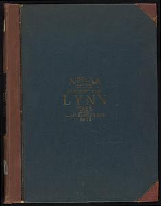
Atlas of the city of Lynn, Massachusetts : including, also, the towns of Swampscott and Saugus : based upon, and carefully...
6.
Atlas of the City of Lynn, Massachusetts, including also, the towns of Swampscott and Saugus
7.
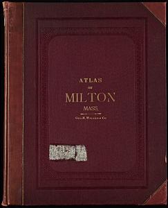
Atlas of the town of Milton Norfolk County Mass. : from official plans and private surveys
8.
Atlas of the town of Milton, Norfolk County, Massachusetts
9.
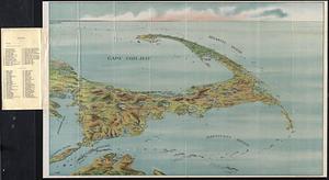
Bird's eye view of Cape Cod
10.
Bird's eye view of the city of Brockton, Plymouth County, Mass : looking southwest, 1882
11.
Bird's-eye view of Branford, Connecticut
12.
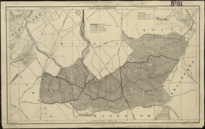
Blue Hills Reservation
13.
Brazil : from official and other sources
14.
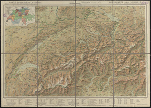
Carte scolaire de la Suisse
15.
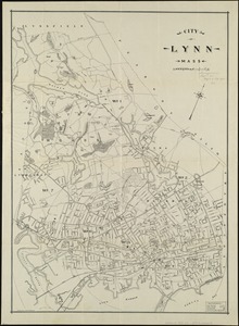
City of Lynn, Mass
16.
[Cliftondale, Saugus and East Saugus, Massachusetts] : 1896
17.
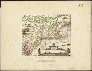
The colonies in 1660, New England and New Netherland showing extent and dates of settlement
18.
The colonies in 1660, Virginia, Maryland, and the Dutch and Swedish settlements on the Delaware showing extent and dates of...
19.
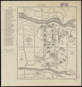
Cornell University campus
20.
The cotton kingdom
21.
Das Deutsche Reich : in 4 Blättern
22.
Geological map of portions of Hastings, Haliburton and Peterborough Counties, Province of Ontario : (Bancroft map)
23.
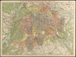
Grosser verkehrs-plan Berlin und seine vororte
24.
Guide map of Boston
25.
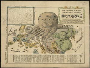
A humorous diplomatic atlas of Europe and Asia
26.
Japan, Inland Sea, Hiroshima Wan, Ujina Ko : from a Japanese survey in 1895
27.
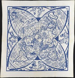
Johnson's new illustrated family atlas of the world, with physical geography, and with descriptions geographical, statistical,...
28.
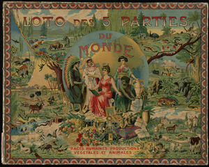
Loto des 5 parties du monde : races humaines, productions, vegetales et animales [cover]
29.
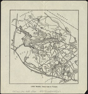
Lynn Woods : handy guide for trampers
30.
Map fourth division railway mail service
31.
Map of Bretton Woods and surroundings
32.
Map of Burma : prepared for the Ireland report on colonial administration in the Far East
33.
Map of Dorchester, Roxbury, and West Roxbury
34.
Map of eastern Virginia
35.
Map of Everett and vicinity
36.
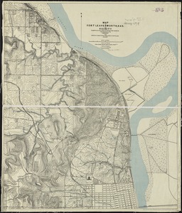
Map of Fort Leavenworth, Kas. and vicinity
37.
Map of Japan
38.
Map of Maine for the Maine register
39.
Map of Massachusetts showing state highways laid out and petitioned for
40.
[Map of Salem, Mass.]
41.
Map of Salem Village 1692
42.
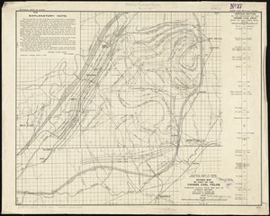
Map of the Bering River Coal Field : showing distribution of the various kinds of coal and location of the coal sections and...
43.
A map of the British Empire in America with the French and Spanish settlements adjacent throughout
44.
Map of the West Shore Railroad and connections
45.
Map of the world
46.
Map of the Yukon Territory to illustrate the summary reports of R.G. McConnell, B.A., Jos. Keele, B.A., and C. Camsell, B.A
47.
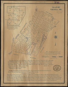
Map of Vienna, Me
48.
Map of West Virginia showing railroads and county products
49.
Map showing Indian reservations within the limits of the United States, 1904
50.
Map showing Indian reservations within the limits of the United States, 1905
51.
Map third division railway mail service
52.
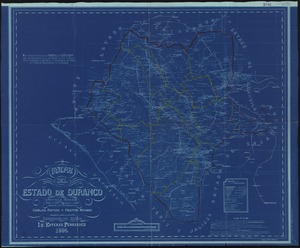
Mapa del estado de Durango, Republica Mexicana
53.
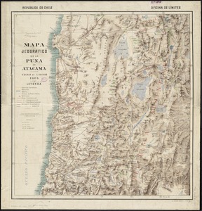
Mapa jeografico de la Puna de Atacama
54.
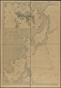
Maps of the Far East, illustrating Russo-Japanese War
55.
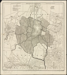
Middlesex Fells Reservation
56.
Military map of south-eastern Virginia
57.
New York City : the business center of the borough of Manhattan
58.
North America, west coast, Canada, British Columbia, waters between Vancouver Island and the mainland, Goletas Channel to...
59.
North Pacific Ocean, sheet IV
60.
Novi Belgii Novaeque Angliae nec non partis Virginiae tabula
61.
Outline map of Massachusetts showing senatorial districts as established by the General Court of 1906 with legal voters...
62.
Plan and sections Wine Harbour gold district, Guysborough Co., Nova Scotia
63.
Plan of boundary line between the Commonwealth of Massachusetts and the State of Connecticut : as located defined and marked by...
64.
Plan of Elizabeth Islands (Naushon, Pasque, and the Wepeckalt Islands) made by Henry H. Crapo, dated 1837
65.
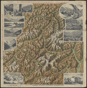
Plastische karte von Landeck, Tirol : ins ortlergebiet Kaunsertaler u. Oetztaleralpen, Silvretta u. Verwaligruppe...
66.
Reg Manning's table-top argu-map of the world
67.
Revised map of part of the Cahaba coal fields
68.
Special map of Rossland, British Columbia
69.
Subject nationalities of the German alliance : from the Allies' peace terms as stated in their reply to President Wilson's note...
70.
Sunapee Lake, New Hampshire
71.
Track chart U.S. dry dock Dewey : Solomons to Olongapo, December 28, 1905-July 10, 1906
72.
Trolley pathfinder birds eye map of interurban trolley lines in New England
73.
Trolley wayfinder, birds eye view of trolley routes in New England
74.
Twentieth century Boston
75.
West coast of Africa, Salum and Jumbas Rivers : from a French sketch survey in 1895


![[Cliftondale, Saugus and East Saugus, Massachusetts]](https://bpldcassets.blob.core.windows.net/derivatives/images/commonwealth:x633fc53m/image_thumbnail_300.jpg)


![Johnson's new illustrated family atlas of the world, with physical geography, and with descriptions geographical, statistical, and historical, including the latest federal census, and the existing religious denominations in the world [frontispiece]](https://bpldcassets.blob.core.windows.net/derivatives/images/commonwealth:0r96fp61c/image_thumbnail_300.jpg)


![[Map of Salem, Mass.]](https://bpldcassets.blob.core.windows.net/derivatives/images/commonwealth:8336h3099/image_thumbnail_300.jpg)