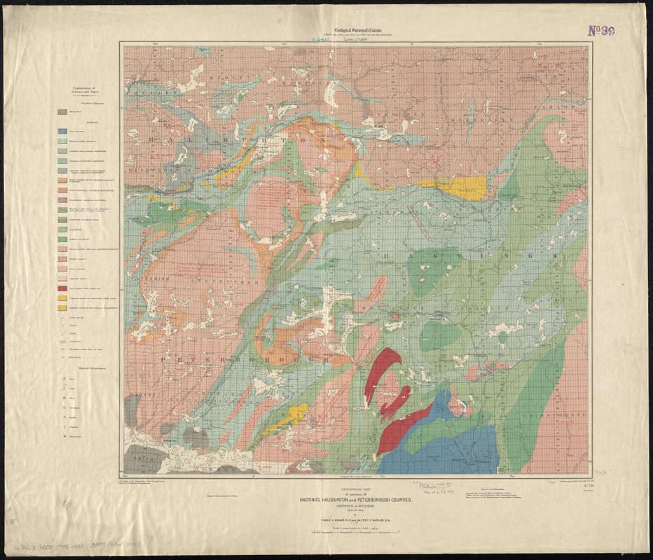
Geological map of portions of Hastings, Haliburton and Peterborough Counties, Province of Ontario : (Bancroft map)
Item Information
- Title:
- Geological map of portions of Hastings, Haliburton and Peterborough Counties, Province of Ontario : (Bancroft map)
- Title (alt.):
-
Hastings, Haliburton and Peterborough Counties, Province of Ontario
- Creator:
- Adams, Frank Dawson, 1859-1942
- Name on Item:
-
by Frank D. Adams and Alfred E. Barlow ; C.O. Senécal, geographer and chief draughtsman ; J. Keele and L.N. Richard, draughtsmen.
- Date:
-
1905
- Format:
-
Maps/Atlases
- Location:
-
Boston Public Library
Norman B. Leventhal Map & Education Center - Collection (local):
-
Norman B. Leventhal Map & Education Center Collection
- Subjects:
-
Geology--Ontario--Hastings (County)--Maps
Geology--Ontario--Haliburton (County)--Maps
Geology--Ontario--Peterborough (County)--Maps
Geology--Ontario, Southern--Maps
Hastings (Ont. : County)--Maps
Haliburton (Ont. : County)--Maps
Peterborough (Ont. : County)--Maps
Ontario, Southern--Maps
- Places:
-
CanadaOntario (province)
Hastings County
Haliburton County
Peterborough County
- Extent:
- 1 map : col. ; 56 x 61 cm.
- Terms of Use:
-
No known copyright restrictions.
No known restrictions on use.
- Publisher:
-
[Ottawa, Ont.] :
Geological Survey of Canada
- Scale:
-
Scale 1:126,720. 2 statute miles to 1 inch.
- Language:
-
English
- Table of Contents:
-
Includes legend and sources of information.
- Notes:
-
Oriented with north to the upper right.
"Accompanying Parts H. & HH. Vol. XIV. No. 770"--Lower right margin.
- Identifier:
-
06_01_011730
- Call #:
-
G3463.H5C5 1905 .A33
- Barcode:
-
39999065688085


