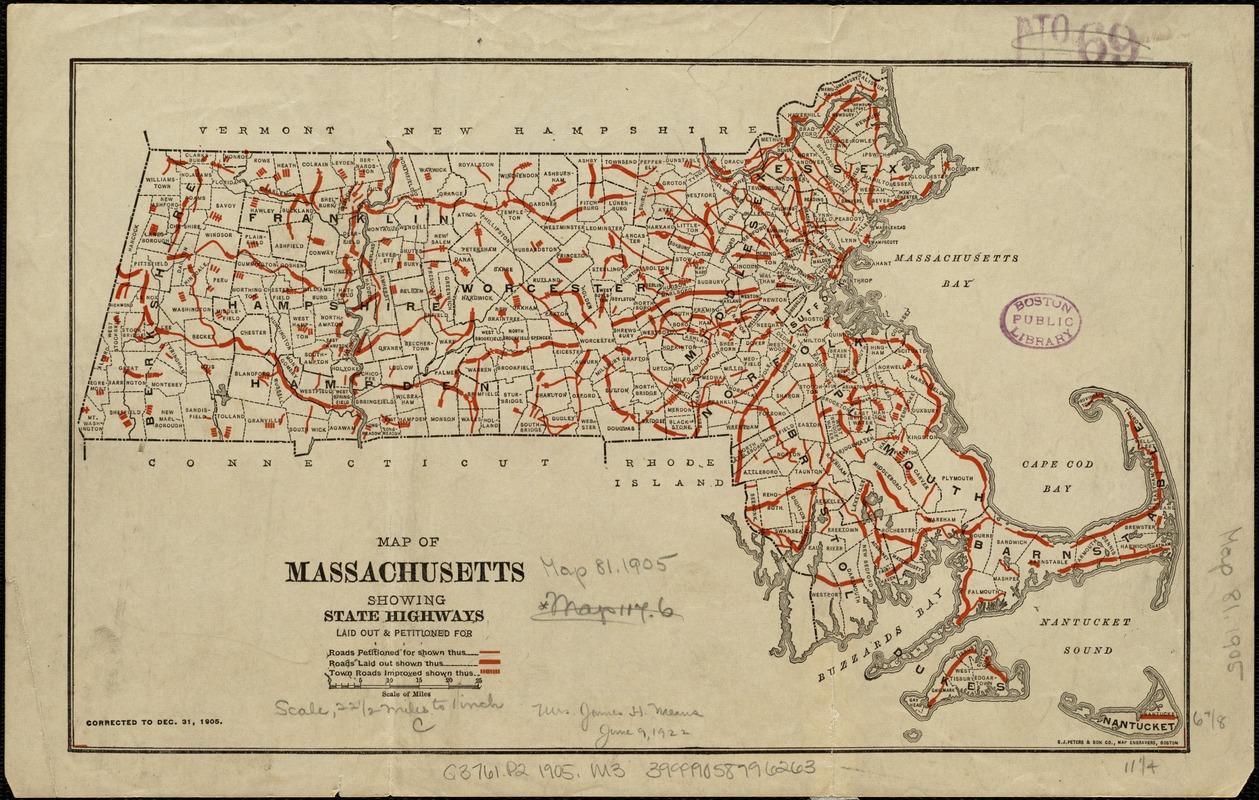
Map of Massachusetts showing state highways laid out and petitioned for
Item Information
- Title:
- Map of Massachusetts showing state highways laid out and petitioned for
- Creator:
- Massachusetts. Highway Commission
- Date:
-
1906
- Format:
-
Maps/Atlases
- Location:
-
Boston Public Library
Norman B. Leventhal Map & Education Center - Collection (local):
-
Norman B. Leventhal Map & Education Center Collection
- Subjects:
-
Roads--Massachusetts
Massachusetts--Maps
- Places:
-
Massachusetts
- Extent:
- 1 map : col. ; 18 x 29 cm.
- Terms of Use:
-
No known copyright restrictions.
No known restrictions on use.
- Publisher:
-
Boston, Mass :
[s.n.]
- Scale:
-
Scale 1:1,425,600.
- Language:
-
English
- Notes:
-
Corrected to Dec. 31, 1905.
"C.J. Peters & Son, Map Engravers, Boston."
- Identifier:
-
06_01_005120
- Call #:
-
G3761.P2 1905 .M3
- Barcode:
-
39999058996263


