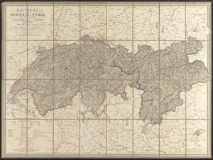
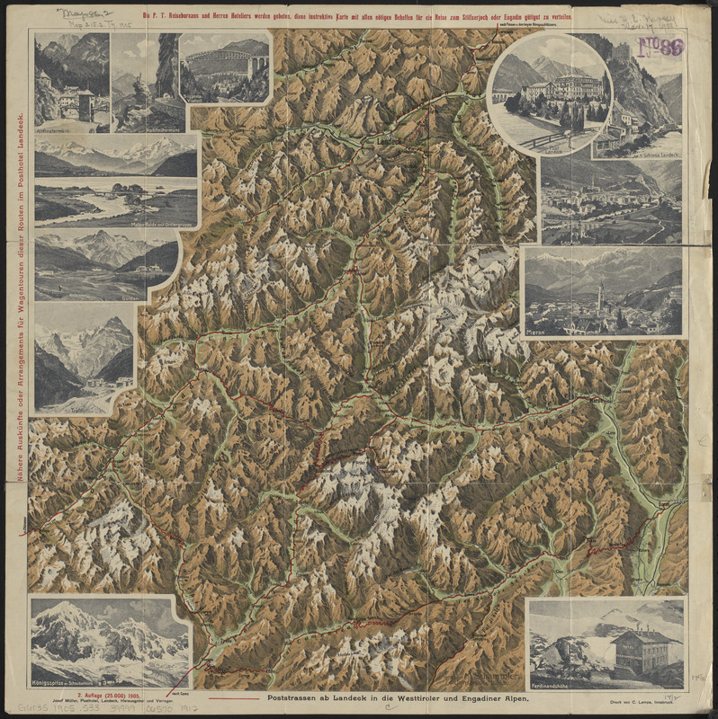
Plastische karte von Landeck, Tirol : ins ortlergebiet Kaunsertaler u. Oetztaleralpen, Silvretta u. Verwaligruppe Finstermünzpass, Unter- u. Oberengadin, Reschen-Scheidegg, Suldenta, Trafoi, Stilfserjoch u. Wormserjoch (Stelvio-Umbrail) Ofenpass, Bernina, Aprica u. Tonalepass, Campiglio u. Mendelpass, Vintschgau-Meran
Item Information
- Title:
- Plastische karte von Landeck, Tirol : ins ortlergebiet Kaunsertaler u. Oetztaleralpen, Silvretta u. Verwaligruppe Finstermünzpass, Unter- u. Oberengadin, Reschen-Scheidegg, Suldenta, Trafoi, Stilfserjoch u. Wormserjoch (Stelvio-Umbrail) Ofenpass, Bernina, Aprica u. Tonalepass, Campiglio u. Mendelpass, Vintschgau-Meran
- Cartographer:
- Schammler, M.
- Publisher:
- Müller, Josef
- Printer:
- Lampe, C.
- Name on Item:
-
gez. von M. Schammler
- Date:
-
1905
- Format:
-
Maps/Atlases
- Location:
-
Boston Public Library
Norman B. Leventhal Map & Education Center - Collection (local):
-
Norman B. Leventhal Map & Education Center Collection
- Subjects:
-
Alps, Eastern--Maps
Switzerland--Maps
Trentino-Alto Adige (Italy)--Maps
Tyrol (Austria)--Maps
- Places:
-
Switzerland
ItalyTrentino-Alto Adige (region)
AustriaTyrol
- Extent:
- 1 map : color ; 45 x 45 cm, folded to 17 x 10 cm
- Terms of Use:
-
No known copyright restrictions.
No known restrictions on use.
- Publisher:
-
Landeck :
Josef Muller
- Scale:
-
Scale approximately 1:280,000
- Language:
-
German
- Notes:
-
Panel title.
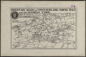
Shows the Central Alps region.
Relief shown pictorially.
Also shows railroads.
Includes 13 illustrations.
Text, illustrations, map and time tables on verso.
- Identifier:
-
06_01_014243
- Call #:
-
G6035 1905 .S33
- Barcode:
-
39999065701912