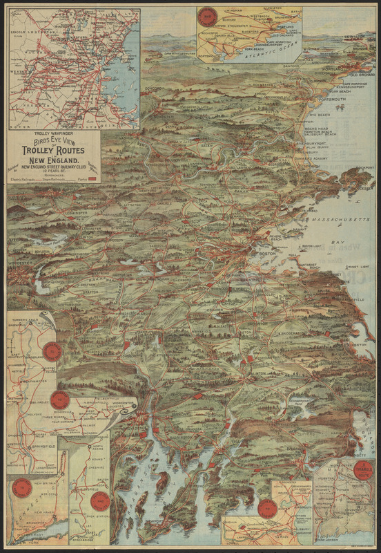
Trolley wayfinder, birds eye view of trolley routes in New England


Item Information
- Title:
- Trolley wayfinder, birds eye view of trolley routes in New England
- Cartographer:
- Geo. H. Walker & Co.
- Publisher:
- New England Street Railway Club
- Name on Item:
-
Geo. H. Walker & Co.
- Date:
-
1904–1905
- Format:
-
Maps/Atlases
- Location:
-
Boston Public Library
Norman B. Leventhal Map & Education Center - Collection (local):
-
Norman B. Leventhal Map & Education Center Collection
- Subjects:
-
Street-railroads--New England--Maps
New England--Aerial views
- Places:
-
New England (area)
- Extent:
- 1 view : color ; 52 x 36 cm, folded in cover 20 x 11 cm
- Terms of Use:
-
No known copyright restrictions.
No known restrictions on use.
- Publisher:
-
Boston :
New England Street Railway Club
- Scale:
-
Not drawn to scale
- Language:
-
English
- Notes:
-
Relief shown pictorially.
Covers southeastern New England.
Insets: [Boston and vicinity] -- Portsmouth and Lewiston -- Springfield to Turners Falls ; Worcester to Springfield -- Springfield to New York City -- Pittsfield and vicinity -- Rochester to Nashua -- A triangle route.
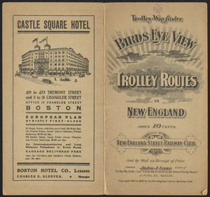
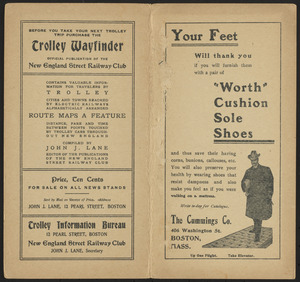
Text and advertisements on verso.
Advertisements on cover.
- Identifier:
-
06_01_016834
06_01_016835
06_01_016836
06_01_016837
- Call #:
-
G3721.P33 1904 .G46
- Barcode:
-
39999085953352


