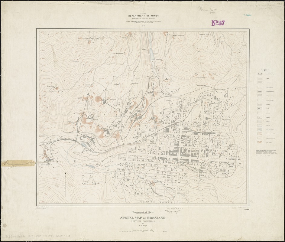
Special map of Rossland, British Columbia
Item Information
- Title:
- Special map of Rossland, British Columbia
- At head of title :
- Topographical sheet
- Creator:
- Boyd, Walter Halcro, 1878-
- Name on Item:
-
by W.H. Boyd.
- Date:
-
1908
- Format:
-
Maps/Atlases
- Location:
-
Boston Public Library
Norman B. Leventhal Map & Education Center - Collection (local):
-
Norman B. Leventhal Map & Education Center Collection
- Subjects:
-
Mines and mineral resources--British Columbia--Rossland--Maps
Rossland (B.C.)--Maps
- Places:
-
CanadaProvince of British Columbia (province)Rossland
- Extent:
- 1 map : col. ; 43 x 52 cm.
- Terms of Use:
-
No known copyright restrictions.
No known restrictions on use.
- Publisher:
-
[Ottawa, Ont.] :
Dept. of Mines, Geological Survey Branch
- Scale:
-
Scale 1:4,800
- Language:
-
English
- Notes:
-
Surveyed in 1905-1906.
Relief shown by contours and spot heights.
In lower right margin: "No. 1001."
Shows buildings in Rossland and locations of mines.
- Identifier:
-
06_01_011646
- Call #:
-
G3514.R6C2 1908 .B69
- Barcode:
-
39999065687723


