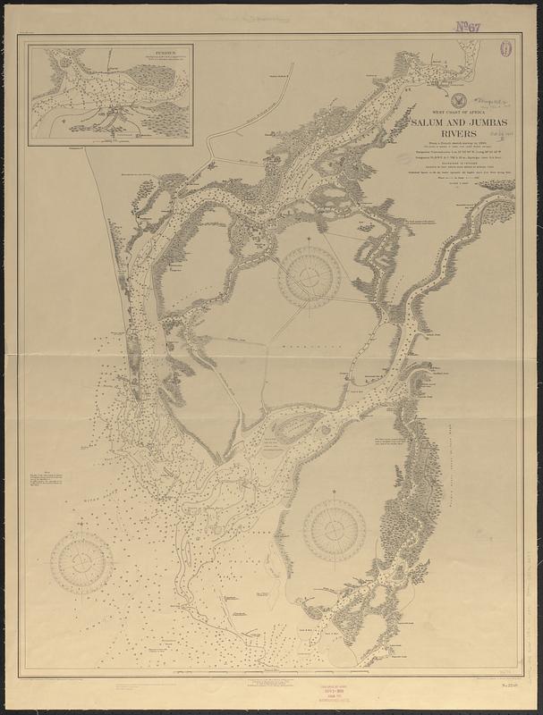
West coast of Africa, Salum and Jumbas Rivers : from a French sketch survey in 1895
Item Information
- Title:
- West coast of Africa, Salum and Jumbas Rivers : from a French sketch survey in 1895
- Issuing body:
- United States. Hydrographic Office
- Draftsman:
- Aguirre, A. A. (Antonio A.)
- Lithographer:
- Noetzel, G. (Gregor)
- Name on Item:
-
prepared by A.A. Aguirre ; Gr. Noetzel, chief lithographer
- Date:
-
1905
- Format:
-
Maps/Atlases
- Genre:
-
Nautical charts
- Location:
-
Boston Public Library
Norman B. Leventhal Map & Education Center - Collection (local):
-
Norman B. Leventhal Map & Education Center Collection
- Subjects:
-
Saloum River (Senegal)--Maps
Nautical charts--Senegal--Saloum River
- Places:
-
SenegalFatick (region)Saloum (river)
- Extent:
- 1 map ; 83 x 65 cm
- Terms of Use:
-
No known copyright restrictions.
No known restrictions on use.
- Publisher:
-
Washington, D.C. :
Hydrographic Office
- Scale:
-
Scale approximately 1:80,000
- Language:
-
English
- Notes:
-
Relief shown by hachures and spot heights. Depths shown by soundings and isolines.
Inset: Fundiun.
Stamped at bottom: The date of issue Nov 1- 1905 from the Hydrographic Office.
- Identifier:
-
06_01_017712
- Call #:
-
G9096.P5 svar .U55 no. 2240
- Barcode:
-
39999085962247


