Toggle navigation
LMEC Home
Exhibitions
Georeferencing
Tools for Teachers
Collections
My Favorites
Sign Up / Log In
Search
Search the map portal
Map Collection
Map Collection
Map Sets
Search
Search
Search for
Search In
All Fields
Creator
Title
Subject
Place
Search All Digital Collections
Advanced Search
13694 Results
Filter your Search
Place
North and Central America
10,357
United States
8,484
Massachusetts
2,796
Suffolk (county)
1,678
Boston
1,634
Europe
1,419
Canada
950
New York
650
more
Place
»
Topic
Boston (Mass.)--Maps
748
City planning--Massachusetts--Boston--Maps
418
United States--History--Revolution, 1775-1783--Maps
329
United States--Maps
322
Real property--Massachusetts--Boston--Maps
254
Urban renewal--Massachusetts--Boston--Maps
254
Massachusetts--Maps
233
Insurance surveys
197
more
Topic
»
Date
Date range begin
–
Date range end
Current results range from
1482
to
2023
View distribution
Creator
United States. Hydrographic Office
597
Boston Redevelopment Authority
404
Des Barres, Joseph F. W. (Joseph Frederick Wallet), 1722-1824
247
Royal United Services Institute for Defence and Security Studies
160
Jefferys, Thomas, -1771
154
George, III, King of Great Britain, 1738-1820
152
George, IV, King of Great Britain, 1762-1830
151
O.H. Bailey & Co
148
more
Creator
»
Format
Maps/Atlases
13,513
Manuscripts
985
Prints
102
Books
49
Drawings/Illustrations
44
Photographs
15
Objects/Artifacts
13
Documents
7
more
Format
»
Georeferenced
Yes
979
No
12,715
Collection
Norman B. Leventhal Map & Education Center Collection
9,108
American Revolutionary War-Era Maps
3,305
Boston and New England Maps
2,921
Urban Maps
2,480
Maritime Charts and Atlases
1,169
William L. Clements Library Collection
910
Library of Congress Collection
618
Boston Redevelopment Authority Collection
475
more
Collection
»
Available to use
No known restrictions
10,260
Creative Commons license
1,678
Search Constraints
Sort by date (desc)
relevance
title
date (asc)
date (desc)
Number of results to display per page
50 per page
10
per page
20
per page
50
per page
100
per page
View results as:
grid view
map view
Search Results
251.
Airport obstruction chart OC 48, Billings Logan International Airport, Billings, Montana
252.
Airport obstruction chart OC 58, General Edward Lawrence Logan International Airport, Boston, Massachusetts
253.
Airport obstruction chart OC 6, Akron Fulton International Airport, Akron, Ohio
254.
Airport obstruction chart OC 65, Greater Buffalo International Airport, Buffalo, New York
255.
Airport obstruction chart OC 76, Charleston AFB/International Airport, Charleston, South Carolina
256.
Airport obstruction chart OC 79, Lovell Field, Chattanooga, Tennessee
257.
Airport obstruction chart OC 95, Concord Municipal Airport, Concord, New Hampshire
258.
Asia
259.
Cromeset Neck
260.
Dorchester Bay
261.
Gulf of Maine watershed : with major river basins
262.
Infrastructure around Tobin Bridge/US route 1 in Charlestown
263.
Massachusetts orthophoto basemap sheet index
264.
MDEP plan for acceleration Fort Devens
265.
MDEP plan for acceleration, Fort Devens, north post and main cantonment area
266.
Voter precinct map of Wakefield, Massachusetts
267.
Water resources of the Neponset River watershed
268.
Berkeley Street community garden
269.
Airport obstruction chart OC 112, Cortez-Montezuma County Airport, Cortez, Colorado
270.
Airport obstruction chart OC 118, Detroit City Airport, Detroit, Michigan
271.
Airport obstruction chart OC 156, Fort Wayne Municipal Airport (Baer Field), Fort Wayne, Indiana
272.
Airport obstruction chart OC 178, Piedmont Triad International Airport, Greensboro, North Carolina
273.
Airport obstruction chart OC 18, San Luis Valley Regional/Bergman Field, Alamosa, Colorado
274.
Airport obstruction chart OC 27, Bush Field, Augusta, Georgia
275.
Airport obstruction chart OC 57, Boise Air Terminal-Gowen Field, Boise, Idaho
276.
The Appalachian trail in Massachusetts
277.
Birmingham Airport, Birmingham, Alabama
278.
Brownsville/South Padre Island International Airport, Brownsville, Texas
279.
Burlington International Airport, Burlington, Vermont
280.
Cape Cod open space : SCORP-GIS integration project
281.
Columbia Metropolitan Airport, Columbia, South Carolina
282.
Dallas Love Field, Dallas, Texas
283.
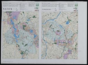
DEP water supply contamination correction program underground storage tank locations compared to natural resource data
284.
Duluth International Airport, Duluth Minnesota
285.
EOEA wide area network
286.
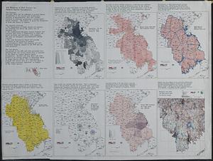
GIS mapping of risk factors for eastern equine encephalitis
287.
James M. Cox-Dayton International Airport, Dayton, Ohio
288.
Location of manufacturers in Boston sheet 4 or 6
289.
Longwood Medical Area
290.
Mashpee land use change 1971-1990
291.
Massachusetts land use - 1985
292.
Massachusetts land use - 1985
293.
Port Columbus International Airport, Columbus, Ohio
294.
Properties of the Trustees of Reservations and other protected open space
295.
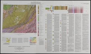
Quaternary geologic map of the Blue Ridge 4° x 6° quadrangle, United States
296.
Status of shellfish management areas in Buzzards Bay (as of 10/10/90)
297.
VOC contamination and public water supplies in the commonwealth of Massachusetts
298.
Waterfront skyline
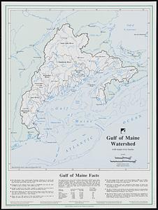
299.
Water resources in southeastern Massachusetts
300.
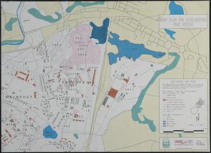
Flirtation walk schematic planting plan Charlestown Navy Yard
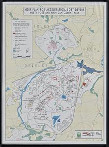
‹ Prev
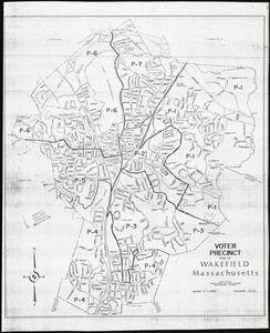
Next ›
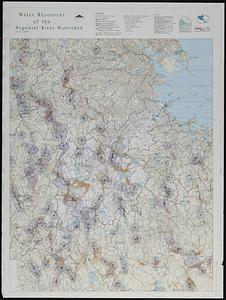
1
2
3
4
5
6
7
8
9
10
…
273
274