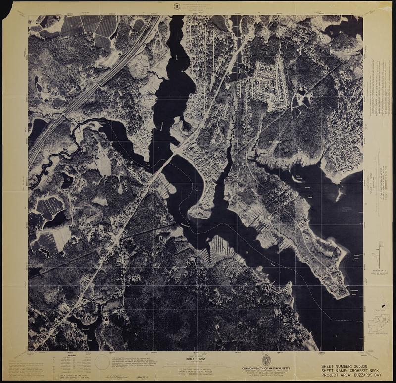
Cromeset Neck
Item Information
- Title:
- Cromeset Neck
- Creator:
- Wetlands and Waterways Program (Mass.)
- Name on Item:
-
Commonwealth of Massachusetts, Department of Environmental Protection, Division of Wetlands and Waterways, Wetlands Conservancy Program
- Date:
-
1992
- Format:
-
Maps/Atlases
- Genre:
-
Remote-sensing images
- Location:
-
Boston Public Library
Norman B. Leventhal Map & Education Center - Collection (local):
-
Applied Geographics, Inc. Records
- Subjects:
-
Wareham (Mass. : Town)--Remote-sensing images
Marion (Mass. : Town)--Remote-sensing images
- Places:
-
MassachusettsPlymouth (county)Wareham
MassachusettsPlymouth (county)Marion
- Extent:
- 1 remote-sensing image ; 80 x 80 cm
- Terms of Use:
-
No known copyright restrictions.
No known restrictions on use.
- Publisher:
-
Massachusetts :
Wetlands Conservancy Program
- Scale:
-
Scale 1:5,000
- Language:
-
English
- Notes:
-
Includes project location map and sheet location map.
"Sheet number: 265830, sheet name: Cromeset Neck, project area: Buzzards Bay."
- Identifier:
-
06_01_019069
- Call #:
-
AppGeo Folder 31 no. 9
- Barcode:
-
30000008064328


