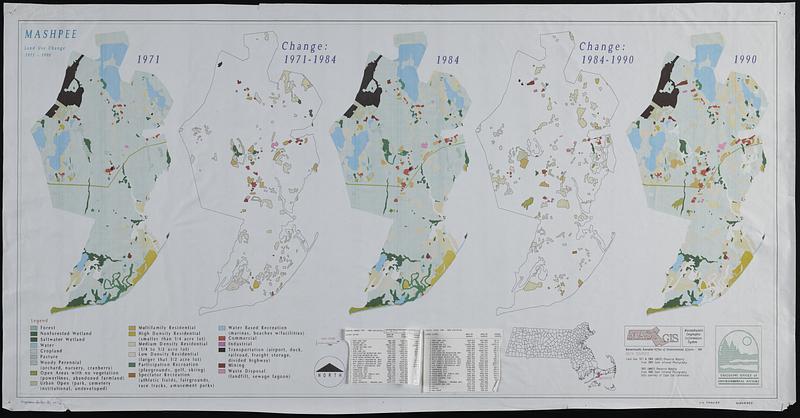
Mashpee land use change 1971-1990
Item Information
- Title:
- Mashpee land use change 1971-1990
- Cartographer:
- MassGIS (Office : Mass.)
- Contributor:
- Massachusetts. Executive Office of Environmental Affairs
- Name on Item:
-
MassGIS
- Date:
-
1991
- Format:
-
Maps/Atlases
- Location:
-
Boston Public Library
Norman B. Leventhal Map & Education Center - Collection (local):
-
Applied Geographics, Inc. Records
- Subjects:
-
Mashpee (Mass. : Town)--Maps
Land use--Massachusetts--Mashpee (Town)--Maps
- Places:
-
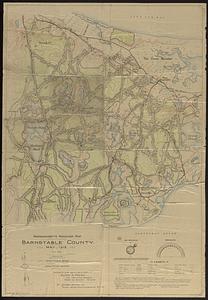
MassachusettsBarnstable (county)Mashpee
- Extent:
- 5 maps on 1 sheet : color ; 57 x 116 cm
- Terms of Use:
-
No known copyright restrictions.
No known restrictions on use.
- Publisher:
-
Massachusetts :
MassGIS
- Scale:
-
Scale 1:50,000
- Language:
-
English
- Table of Contents:
-
1971
Change: 1971-1984
1984
Change: 1984-1990
1990.
- Notes:
-
Includes location map and landuse change statistics for 1971-1985 and 1985-1990.
Statistics tables tipped on.
- Identifier:
-
06_01_019072
- Call #:
-
AppGeo Folder 31 no. 12
- Barcode:
-
30000008064326