Toggle navigation
LMEC Home
Exhibitions
Georeferencing
Tools for Teachers
Collections
My Favorites
Sign Up / Log In
Search
Search the map portal
Map Collection
Map Collection
Map Sets
Search
Search
Search for
Search In
All Fields
Creator
Title
Subject
Place
Search All Digital Collections
Advanced Search
197 Results
My Search
Start Over
More Like
commonwealth:3f462s302
Remove constraint More Like: commonwealth:3f462s302
Filter your Search
Place
North and Central America
107
United States
79
World
63
Boston
44
Suffolk (county)
43
New England
30
Boston Harbor
28
Massachusetts
10
more
Place
»
Topic
World maps--Early works to 1800
76
New England--Maps--Early works to 1800
23
Boston (Mass.)--Maps
20
Boston (Mass.)--History--Revolution, 1775-1783--Maps--Early works to 1800
16
Boston Harbor (Mass.)--Maps--Early works to 1800
13
Boston Harbor (Mass.)--Maps
10
Fortification--Massachusetts--Boston--Maps--Early works to 1800
10
North America--Maps--Early works to 1800
9
more
Topic
»
Date
Date range begin
–
Date range end
Current results range from
1488
to
1927
View distribution
Creator
Page, Thomas Hyde, Sir, 1746-1821
7
United States Coast Survey
6
Southack, Cyprian, 1662-1745
5
Bache, A. D. (Alexander Dallas), 1806-1867
4
Bellin, Jacques Nicolas, 1703-1772
4
Des Barres, Joseph F. W. (Joseph Frederick Wallet), 1722-1824
4
Faden, William, 1749-1836
4
Moll, Herman, d. 1732
4
more
Creator
»
Format
Maps/Atlases
196
Manuscripts
2
Prints
1
Georeferenced
Yes
29
No
168
Collection
Norman B. Leventhal Map Center Collection
184
Mapping Boston Collection
139
Boston and New England Maps
73
American Revolutionary War-Era Maps
38
Maritime Charts and Atlases
28
Urban Maps
23
Sidney R. Knafel Map Collection at Phillips Academy
13
Available to use
Creative Commons license
137
No known restrictions
47
Search Constraints
Sort by date (asc)
relevance
title
date (asc)
date (desc)
Number of results to display per page
50 per page
10
per page
20
per page
50
per page
100
per page
View results as:
grid view
map view
Search Results
51.
Novi Belgii, Novaeque Angliae nec non partis Virginiae tabula
52.
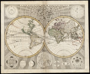
A new and accurat map of the world drawne according to ye truest descriptions latest discoveries & best observations yt have...
53.
Pas caarte van Nieu Nederlandt
54.
A plat of all the world : projected according to the truest rules being far more exact than either the plain-card or the maps...
55.
Noua orbis terrarum delineatio singulari ratione accommodata meridiano tabb. Rudolphi astronomicarum
56.
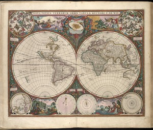
Nova totius terrarum orbis tabula
57.
Carta particolare della Nuoua Belgia è parte della Nuoua Anglia
58.
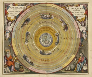
Planisphaerium Ptolemaicum siue machina orbium mundi ex hypothesi Ptolemaica in plano disposita
59.
A new and accurat map of the world : drawne according to ye truest descriptions latest discoveries & best observations yt have...
60.
Systema ideale quo exprimitur, aquarum per canales hydragogos subterraneos ex mari et in montium hydrophylacia protrusio,...
61.
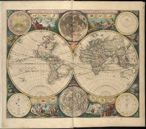
Novissima totius terrarum orbis tabula
62.
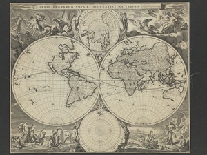
Orbis terrarum nova et accuratissima tabula
63.
A chart of the coast of America from New found Land to Cape Cod
64.
A mapp of New England
65.
A map of New England and New York
66.
A map of New-England, being the first that ever was here cut, and done by the best pattern that could be had, which being in...
67.
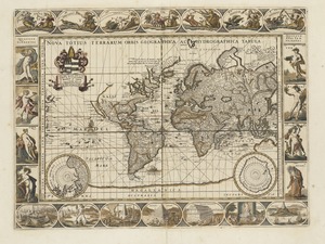
Nova totius terrarum orbis geographica ac hydrographica tabula
68.
Pas-kaart vande zee kusten inde boght van Niew Engeland : tusschen de staaten Hoek en C. de Sable
69.
A new map of New England, New York, New Iarsey, Pensilvania, Maryland and Virginia
70.
A new mapp of the world
71.
Boston Harbour in New England
72.
A new mapp of New England and Annapolis and the countrys adjacent
73.
Orbis terrarum nova et accuratissima tabula
74.
Nouus planiglobii terrestris per utrumque polum conspectus
75.
[Hamadaradz Asharhatsuyts] = [Extensive world map]
76.
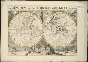
A new map of the terraqueous globe according to the ancient discoveries and most general divisions of it into continents and...
77.
A new map of the terraqueous globe according to the latest discoveries and most general divisions of it into continents and oceans
78.
An exact mapp of New England and New York
79.
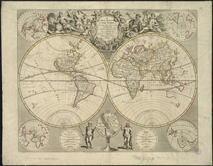
Mappmonde ou description generale du globe terrestre
80.
A new survey of the harbour of Boston in New England : done by order of the principall officers and comissioners of Her Maties....
81.
A chart of the sea coast of New Foundland, New Scotland, New England, New York, New Jersey, with Virginia and Maryland
82.
Carte tres curieuse de la Mer du Sud, contenant des remarques nouvelles et tres utiles non seulement sur les ports et iles de...
83.
A new & correct map of the whole world : shewing ye situation of its principal parts. viz. the oceans, kingdoms, rivers, capes,...
84.
A new map of the north parts of America claimed by France under ye names of Louisiana, Mississipi, Canada, and New France with...
85.
Nova tabula geographica complectens borealiorem Americæ partem : in qua exacte delineatæ sunt Canada sive Nova Francia, Nova...
86.
A new map of the world from the latest observations
87.
A map of the world : corrected from the observations communicated to the Royal Societys of London and Paris
88.
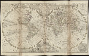
A new and correct map of the world, laid down according to the newest discoveries, and from the most exact observations
89.
Boston Harbour
90.
Nouvelle Hollande (à présent Nouvelle-York), Nouvelle-Angleterre, et une partie de la Virginie
91.
Diversi globi terr-aquei statione variante et visu intercedente, per coluros tropicorum, per ambos polos et particul : sphaerae...
92.
Mappe-monde
93.
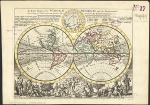
A new map of the whole world with the trade winds according to ye latest and most exact observations
94.
An actual survey of the sea coast from New York to the I. Cape Brition : with tables of the direct and thwart courses &...
95.
A correct map of the coast of New England
96.
A map of the coast of New England, from Staten Island to the island of Breton
97.
Planiglobii terrestris mappa universalis utrumq hemisphærium orient. et occidentale repræsentans ex IV mappis generalibus =...
98.
A chart of the sea coast of New Foundland, New Scotland, New York, New Jersey, with Virginia and Maryland and New England
99.
A large draught of New England, New York and Long Island
100.
A new suruey of the harbour of Boston in New England
‹ Prev
Next ›
1
2
3
4


![Systema ideale quo exprimitur, aquarum per canales hydragogos subterraneos ex mari et in montium hydrophylacia protrusio, aquarumq[ue] subterrestrium per pyragogos canales concoctus](https://bpldcassets.blob.core.windows.net/derivatives/images/commonwealth:n8710p89m/image_thumbnail_300.jpg)


![[Hamadaradz Asharhatsuyts]](https://bpldcassets.blob.core.windows.net/derivatives/images/commonwealth:x633f982n/image_thumbnail_300.jpg)