Toggle navigation
LMEC Home
Exhibitions
Georeferencing
Tools for Teachers
Collections
My Favorites
Sign Up / Log In
Search
Search the map portal
Map Collection
Map Collection
Map Sets
Search
Search
Search for
Search In
All Fields
Creator
Title
Subject
Place
Search All Digital Collections
Advanced Search
13385 Results
Filter your Search
Place
North and Central America
9,353
United States
7,286
Suffolk (county)
1,664
Boston
1,621
Europe
1,035
Canada
949
Massachusetts
875
New York
534
more
Place
»
Topic
Boston (Mass.)--Maps
741
City planning--Massachusetts--Boston--Maps
418
United States--History--Revolution, 1775-1783--Maps
329
United States--Maps
315
Urban renewal--Massachusetts--Boston--Maps
254
Real property--Massachusetts--Boston--Maps
252
Massachusetts--Maps
219
Insurance surveys
197
more
Topic
»
Date
Date range begin
–
Date range end
Current results range from
1482
to
2023
View distribution
Creator
United States. Hydrographic Office
595
Boston Redevelopment Authority
403
Des Barres, Joseph F. W. (Joseph Frederick Wallet), 1722-1824
247
Royal United Services Institute for Defence and Security Studies
160
Jefferys, Thomas, -1771
154
George, III, King of Great Britain, 1738-1820
152
George, IV, King of Great Britain, 1762-1830
151
O.H. Bailey & Co
148
more
Creator
»
Format
Maps/Atlases
13,205
Manuscripts
985
Prints
102
Books
49
Drawings/Illustrations
44
Photographs
15
Objects/Artifacts
13
Documents
7
more
Format
»
Georeferenced
Yes
979
No
12,406
Collection
Norman B. Leventhal Map Center Collection
8,891
American Revolutionary War-Era Maps
3,305
Boston and New England Maps
2,804
Urban Maps
2,397
Maritime Charts and Atlases
1,150
William L. Clements Library Collection
910
Library of Congress Collection
618
Boston Redevelopment Authority Collection
475
more
Collection
»
Available to use
No known restrictions
9,952
Creative Commons license
1,677
Search Constraints
Sort by date (desc)
relevance
title
date (asc)
date (desc)
Number of results to display per page
100 per page
10
per page
20
per page
50
per page
100
per page
View results as:
grid view
map view
Search Results
701.
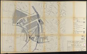
South Boston urban renewal area r-51 : proposed land use
702.
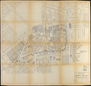
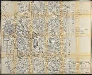
South Boston urban renewal area r-51 : existing land use
703.
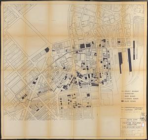
South Boston urban renewal area r-51 : building conditions
704.
South Boston urban renewal area r-51 : existing population density
705.
South Boston urban renewal area r-51 : proposed treatment and title I projects
706.
Washington Park urban renewal area r-24 : building condition
707.
Roxbury - N. Dorchester G.N.R.P. : preliminary circulation plan
708.
Washington Park urban renewal area r-24 : buildings with deficiencies
709.
Government Center project no. Mass. r-35 : subway adjustments plan
710.
Mattapan project : building deficiencies
711.
Mattapan project : property map
712.
Mattapan project : proposed zoning under proposed code
713.
Mattapan project : right-of-way adjustment plan
714.
Mattapan project : land use and disposition plan
715.
Mattapan project : existing zoning under proposed code
716.
Mattapan project : existing land use
717.
Mattapan project : proposed zoning
718.
Mattapan project : existing zoning
719.
Zoning districts - city of Boston - map 1 - Boston proper
720.
Zoning districts city of Boston map 9 Jamaica Plain
721.
Downtown Waterfront-Faneuil Hall renewal area : existing land use
722.
Downtown Waterfront-Faneuil Hall renewal area : building conditions
723.
Government Center project Mass. r-35 : parcel 7 & subway structure topographic map
724.
Government Center project no. Mass. r-35 : illustrative site plan
725.
Government Center project no. Mass. r-35 : disposition parcel map
726.
Government Center project no. Mass. r-35 : proposed land use
727.
Central business district project no Mass r- : existing land use
728.
Central business district project no Mass r- : existing building condition
729.
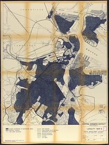
Central business district project no Mass r- : locality map 2
730.
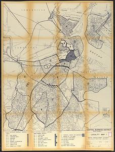
Central business district project no Mass r- : locality map 1
731.
Charlestown urban renewal area, Massachusetts R-55 : illustrative site plan
732.
City of Boston : topographic and planimetric survey
733.
City of Boston topographic and planimetric survey
734.
Dorchester improvement area, map no. 2 - south east
735.
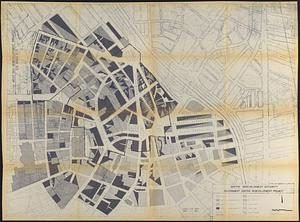
Downtown existing buildings conditions
736.
Downtown Waterfront Faneuil Hall renewal area : locality map 1
737.
Downtown Waterfront-Faneuil Hall renewal area : locality map 2
738.
Locality map
739.
Route chart showing routes to and from northwestern Europe
740.
South Cove project no. Mass r- : existing land use
741.
South Cove project no. Mass. r- : existing building condition
742.
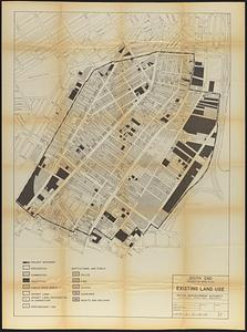
South End project no. Mass. r-56 : existing land use
743.
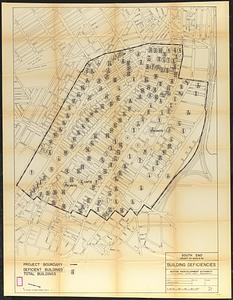
South End project no. Mass. r-56 : building deficiencies
744.
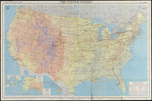
The United States
745.
Washington Park urban renewal area : building deficiencies
746.
Washington Park urban renewal area : existing land use
747.
Washington Park urban renewal area : building deficiencies
748.
Washington Park urban renewal area : building conditions
749.
Washington Park urban renewal area : treatment sections
750.
Washington Park urban renewal area : proposed treatment sections
751.
Zoning districts, city of Boston
752.
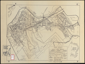
Zoning districts city of Boston map 3 East Boston
753.
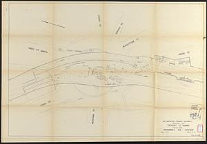
Tremont St. subway Boston, Mass. Haymarket Sq. Station
754.
Government Center redevelopment project : land use map
755.
North Harvard project area : location map
756.
North Harvard project area : land use of project area
757.
North Harvard project area : conditions in project area
758.
North Harvard project area : locality map
759.
Government Center project no. Mass. r-35 : building deficiencies map
760.
Government Center project no. Mass. r-35 : existing land use map
761.
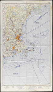
Boston sectional aeronautical chart
762.
Dominican Republic road map 1:250,000
763.
Historic Massachusetts : a travel map to help you feel at home in the Bay State
764.
Map of Berkshire County, Massachusetts
765.
Master highway plan metropolitan Boston showing the Massachusetts turnpike, route 128 (circumferential highway), Boston central...
766.
Metropolitan Transit Authority system route map
767.
Charlestown renewal area : location map
768.
South End renewal area : locality map
769.
South End renewal area : location map
770.
South End renewal area : existing conditions & proposed treatment areas
771.
South End renewal area : existing land use
772.
South End renewal area : blighted areas
773.
Charlestown renewal area : blighted areas
774.
Charlestown renewal area : existing conditions & proposed treatment areas
775.
Charlestown renewal area : locality map
776.
Charlestown renewal area : existing land use
777.
City of Boston topographic and planimetric survey : [Downtown and North End]
778.
Civil War centennial
779.
Navajoland, U.S.A.
780.
Wakefield, Massachusetts
781.
Daily weather map : Tuesday, September 29, 1959
782.
General plan : Government Center - Boston - 1959
783.
Land ownership maps for land in the Government Center urban renewal project area
784.
Metropolitan Transit Authority system route map
785.
A nation of immigrants
786.
Panoramic view of Boston showing golden semicircle
787.
Ward boundaries 1959
788.
Wards & precincts, city of Boston - 1890
789.
Cape Cod and the islands
790.
March 17-21 ; March 22-26
791.
The United States, the land and the people = Les états-Unis, le pays et ses habitants = De Verenigde Staten, het land en het volk
792.
Oil in America : a pictorial story of the petroleum industry in the United States
793.
Public outdoor recreation master plan
794.
Sportsmen's fishing map of the United States and neighboring waters
795.
Atlas of town of Weymouth Massachusetts
796.
Crocker, Burbank & Co. Association (Bldg), "Mill No. 8," Johnson & Johnson, et al, Ten., Fitchburg Mass. [insurance map]
797.
Dublin
798.
General and zoning map for town of Wakefield Mass.
799.
Makers of the U.S.A. : a friendship map
800.
Metropolitan Transit Authority system route map
‹ Prev
Next ›
1
2
…
4
5
6
7
8
9
10
11
12
…
133
134


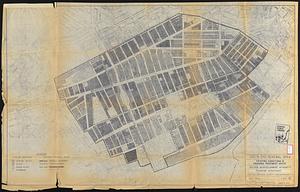


![Crocker, Burbank & Co. Association (Bldg), "Mill No. 8," Johnson & Johnson, et al, Ten., Fitchburg Mass. [insurance map]](https://bpldcassets.blob.core.windows.net/derivatives/images/commonwealth:ww72bx68n/image_thumbnail_300.jpg)