Cape Cod and the islands
Item Information
- Title:
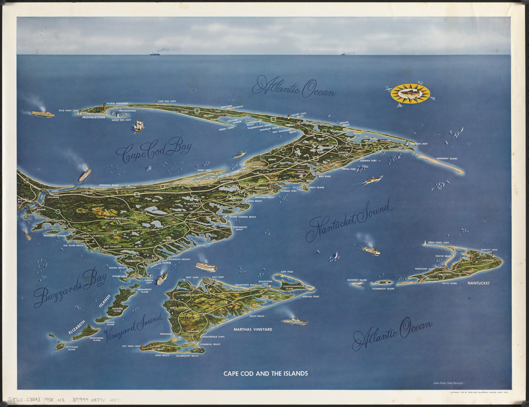
- Cape Cod and the islands
- Cartographer:
- MacDonald, John Ross
- Name on Item:
-
John Ross MacDonald
- Date:
-
1958
- Format:
-
Maps/Atlases
- Location:
-
Boston Public Library
Norman B. Leventhal Map & Education Center - Collection (local):
-
Norman B. Leventhal Map & Education Center Collection
- Subjects:
-
Cape Cod (Mass.)--Aerial views
Nantucket Island (Mass.)--Aerial views
Martha's Vineyard (Mass.)--Aerial views
- Places:
-
MassachusettsBarnstable (county)Cod, Cape
MassachusettsNantucket (county)Nantucket Island (island)
MassachusettsDukes (county)Martha's Vineyard (island)
- Extent:
- 1 view : color ; 42 x 55 cm
- Terms of Use:
-
No known copyright restrictions.
No known restrictions on use.
- Publisher:
-
Malden, Mass. :
John Ross MacDonald
- Scale:
-
Not drawn to scale
- Language:
-
English
- Notes:
-
Oriented with north to the left.
Pictorial map.
Bird's-eye view.
- Identifier:
-
06_01_016163
- Call #:
-
G3762.C35A3 1958 .M3
- Barcode:
-
39999085944971