Boston sectional aeronautical chart
Item Information
- Title:
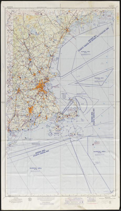
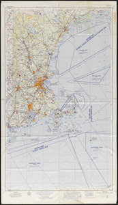
- Boston sectional aeronautical chart
- Cartographer:
- U.S. Coast and Geodetic Survey
- Name on Item:
-
Compiled and printed at Washington, D. C. by the U. S. Department of Commerce Coast and Geodetic Survey, L. O. Colbert, director
- Date:
-
1961
- Format:
-
Maps/Atlases
- Location:
-
Phillips Academy
Archives and Special Collections - Collection (local):
-
Ralph Finos Map Collection
- Subjects:
-
Coastlines
Aeronautics
- Places:
-
Massachusetts
New Hampshire
Maine
- Extent:
- 1 map : col. ; 94 x 55 cm
- Terms of Use:
-
We believe that this item has no known US copyright restrictions. Though not required, if you want to credit us as the source, please use the following statement, "From The Trustees of Phillips Academy." Doing so helps us track how our collection is used and helps justify freely releasing even more content in the future.
This work is in the public domain under a Creative Commons No Rights Reserved License (CC0).
- Publisher:
-
Washington, D. C. :
U. S. Department of Commerce Coast and Geodetic Survey
- Edition:
- 47th edition
- Scale:
-
Scale 1:500,000
- Language:
-
English
- Notes:
-
Title from item.
Base map is edition of May 1956.
Section charts index and U. S. air defense identification zones and defense area index
- Notes (date):
-
Date from item.
- Identifier:
-
2018_069