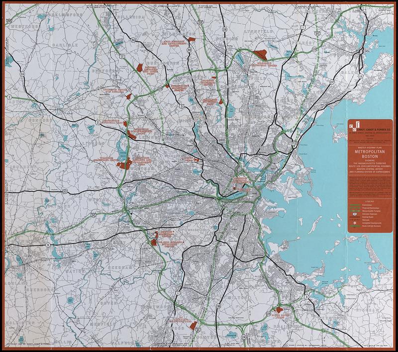
Master highway plan metropolitan Boston showing the Massachusetts turnpike, route 128 (circumferential highway), Boston central artery, and planned system of expressways

Item Information
- Title:
- Master highway plan metropolitan Boston showing the Massachusetts turnpike, route 128 (circumferential highway), Boston central artery, and planned system of expressways
- Title (alt.):
-
Master highway plan metropolitan Boston showing route 128 (the circumferential highway), Massachusetts turnpike, Boston central artery, new expressway system
- Cartographer:
- Cabot, Cabot & Forbes
- Date:
-
1961
- Format:
-
Maps/Atlases
- Location:
-
Boston Public Library
Central Library in Copley Square - Collection (local):
-
Boston Public Library Collection
- Subjects:
-
Boston Metropolitan Area (Mass.)--Maps
Roads--Massachusetts--Boston Metropolitan Area--Maps
- Places:
-
MassachusettsSuffolk (county)Boston
- Extent:
- 1 map : color ; 75 x 85 cm
- Terms of Use:
-
No known copyright restrictions.
No known restrictions on use.
- Publisher:
-
Boston :
Cabot, Cabot & Forbes
- Language:
-
English
- Notes:
-
Includes text.
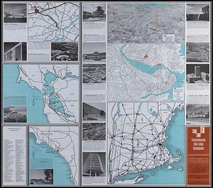
Text, color maps, and illustrations on verso.
- Notes (exhibitions):
-
Exhibited: "More or less in common: environment and justice in the human landscape," organized by Leventhal Map & Education Center at the Boston Public Library, 2022.
- Identifier:
-
06_01_018289_a
06_01_018289_b
- Call #:
-
CCF/61.1
- Barcode:
-
mq6336258


![Boston personal income ; Boston personal income [and] residential population density](https://bpldcassets.blob.core.windows.net/derivatives/images/commonwealth:fn107c409/image_thumbnail_300.jpg)
