Toggle navigation
LMEC Home
Exhibitions
Georeferencing
Tools for Teachers
Collections
My Favorites
Sign Up / Log In
Search
Search the map portal
Map Collection
Map Collection
Map Sets
Search
Search
Search for
Search In
All Fields
Creator
Title
Subject
Place
Search All Digital Collections
Advanced Search
140 Results
My Search
Start Over
vermont
Remove constraint vermont
Filter your Search
Place
North and Central America
132
United States
79
Vermont
58
New England
32
New York
22
New Hampshire
18
Massachusetts
13
Canada
8
more
Place
»
Topic
Vermont--Maps
30
New England--Maps
22
Railroads--New England--Maps
12
New Hampshire--Maps
11
Long Trail (Vt.)--Maps
9
New York (State)--Maps
9
Trails--Vermont--Maps
9
Vermont--Maps--Early works to 1800
8
more
Topic
»
Date
Date range begin
–
Date range end
Current results range from
1744
to
2015
View distribution
Creator
Burleigh, L. R., 1853-1923
10
Congdon, Herbert Wheaton, 1876-1965
9
United States. Post Office Dept
7
Faden, William, 1749-1836
5
Walling, Henry Francis, 1825-1888
5
Cram, George Franklin, 1841-1928
4
Doolittle, Amos, 1754-1832
4
Green Mountain Club
4
more
Creator
»
Format
Maps/Atlases
139
Manuscripts
13
Objects/Artifacts
1
Prints
1
Georeferenced
Yes
18
No
122
Collection
Norman B. Leventhal Map Center Collection
102
Boston and New England Maps
68
American Revolutionary War-Era Maps
49
Urban Maps
17
William L. Clements Library Collection
7
American Antiquarian Society Collection
6
British Library Collection
5
Library of Congress Collection
5
more
Collection
»
Available to use
No known restrictions
103
Creative Commons license
18
Search Constraints
Sort by title
relevance
title
date (asc)
date (desc)
Number of results to display per page
100 per page
10
per page
20
per page
50
per page
100
per page
View results as:
grid view
map view
Search Results
1.
The Above is a plan of the town of Cabot, State of Vermont
2.
An accurate map of His Majesty's province of New-Hampshire in New England : taken from actual surveys of all the inhabited...
3.
An accurate map of His Majesty's province of New-Hampshire in New England : taken from actual surveys of all the inhabited...
4.
An accurate map of His Majesty's Province of New-Hampshire in New England & all the adjacent country northward to the River St....
5.
An accurate map of the four New England states : shewing in a distinct manner all the mountains, forts, rivers, swamps,...
6.
Africa
7.
Barre, Washington County, Vt : 1884
8.
Bellows Falls, Vt
9.
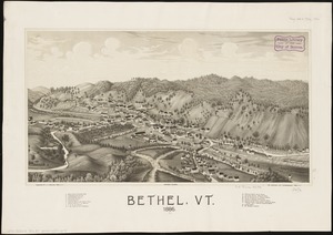
Bethel, Vt : 1886
10.
Bowles's new pocket map of the most inhabited part of New England : comprehending the provinces of Massachusets Bay and New...
11.
Brattleboro, Vt : 1876
12.
Brattleboro, Vt : 1886
13.
Carte de la Nouvelle York, y-compris les terres cédées du N. Hamp-Shire, sous le nom d'etat de Vermont
14.
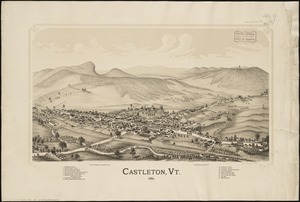
Castleton, Vt : 1889
15.
A chorographical map of the northern department of North-America
16.
A chorographical map of the northern department of North-America : drawn from the latest and most accurate observations
17.
Colton's New Hampshire
18.
Colton's Vermont
19.
Complete map of Vermont showing highways & natural features with an index of all cities, villages, post-offices and railroad...
20.
A comprehensive atlas geographical, historical & commercial [title page]
21.
A correct map of the state of Vermont from actual survey; : exhibiting the county andtown lines, rivers, lakes, ponds
22.
A Correct Plan of the Province of New Hampshire together with part of Hudsons River from Albany to Lake George and from thence...
23.
Diagram of rail roads diverging from Boston : showing the depots and distances
24.
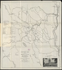
Driving map of Woodstock & vicinity, Vermont
25.
French draught of Lake Champlain & Lake George with remarks of an English prisoner who return'd from Quebec to Fort Edward by...
26.
An improved map of Vermont : compiled from the latest authorities
27.
Lake Champlain streamline ferries : direct routes to Whiteface Mtn., Ausable Chasm, scenic short-cuts between Green Mountains,...
28.
Library map of Vermont, 1914
29.
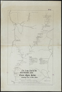
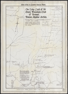
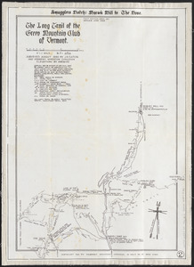
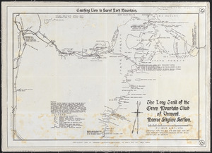
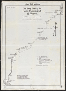
The Long Trail of the Green Mountain Club : Monroe Skyline Section : Bolton to Montclair Glen-Trails to Couching Lion
30.
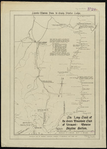
The Long Trail of the Green Mountain Club : Monroe Skyline Section : Lincoln-Warren Pass to Emily Proctor Lodge
31.
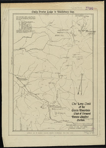
The Long Trail of the Green Mountain Club : Monroe Skyline Section : Emily Proctor Lodge to Middlebury Gap
32.
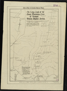
The Long Trail of the Green Mountain Club : Monroe Skyline Section : Glen Ellen to Lincoln-Warren Pass
33.
The Long Trail of the Green Mountain Club : Monroe Skyline Section : Couching Lion to Glen Ellen
34.
The Long Trail of the Green Mountain Club of Vermont : Monroe Skyline section : Glen Ellen to Lincoln-Warren Pass
35.
The Long Trail of the Green Mountain Club of Vermont : Smuggler's Notch: Morse's Mill to the Nose
36.
The Long Trail of the Green Mountain Club of Vermont : Monroe Skyline section: Couching Lion to Burnt Rock Mountain
37.
The Long Trail of the Green Mountain Club of Vermont : Trout Club to Bolton
38.
Ludlow, Vt
39.
Lyndonville, Caledonia County, Vermont : 1884
40.
Map & profiles of the Vt. Central and Vt. and Canada Railroads
41.
[Map depicting early land division and ownership in Barnard, Vermont]
42.
Map of Addison County, Vermont
43.
Map of Bennington County, Vermont
44.
Map of Bretton Woods and surroundings
45.
Map of Caledonia County, Vermont
46.
Map of Chittenden County, Vermont
47.
Map of Connecticut River from Barnet Vermont to Hartford Con : by actual survey in 1825
48.
Map of Maine, New Hampshire, and Vermont : compiled from the latest authorities
49.
Map of Maine, New Hampshire and Vermont, from the most authentic sources
50.
Map of Maine, New Hampshire, Vermont, Massachusetts, Rhode Island, and Connecticut : exhibiting the post offices, post roads,...
51.
[Map of New England]
52.
A map of New York showing counties, manors, townships, and estates, ca. 1778
53.
A map of New York showing counties, manors, townships, and estates, ca. 1778
54.
Map of the counties of Franklin and Grand Isle, Vermont : from actual surveys
55.
Map of the country copied from Hale's map of N. E. with railroad route from Boston to Lake Champlain : through Keene, N. H
56.
A map of the country in which the army under Lt. General Burgoyne acted in the campaign of 1777 : shewing the marches of the...
57.
A map of the country in which the army under Lt. General Burgoyne acted in the campaign of 1777 : shewing the marches of the...
58.
A map of the country in which the army under Lt. General Burgoyne acted in the campaign of 1777 : shewing the marches of the...
59.
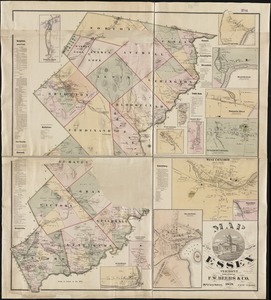
Map of the county of Essex, Vermont
60.
A map of the inhabited part of Canada from the French surveys : with the frontiers of New York and New England from the large...
61.
A map of the inhabited part of Canada from the French surveys : with the frontiers of New York and New England from the large...
62.
A map of the New England states : Maine, New Hampshire, Vermont, Massachusetts, Rhode Island & Connecticut, with the adjacent...
63.
A map of the New England states : Maine, New Hampshire, Vermont, Massachusetts, Rhode Island & Connecticut, with the adjacent...
64.
Map of the northern, or, New England states of America, comprehending Vermont, New Hampshire, District of Main, Massachusetts,...
65.
Map of the northern, or, New England states of America, comprehending Vermont, New Hampshire, District of Main, Massachusetts,...
66.
Map of the northern part of New England : compiled for Pres't. Dwight's travels
67.
A map of the province of Massachusets Bay and colony of Rhode Island, with part of Connecticut, New Hampshire, and Vermont
68.
A map of the province of Massachusets Bay and colony of Rhode Island, with part of Connecticut, New Hampshire, and Vermont
69.
A map of the province of Massachusetts Bay, and colony of Rhode Island, with part of Connecticut, New Hampshire, and Vermont
70.
A MAP OF THE PROVINCE OF NEW-YORK, & PART OF NEW ENGLAND WITH A PART OF NEW FRANCE the whole Composed from Actual Surveys
71.
A MAP OF THE PROVINCE OF NEW-YORK, PART OF NEW JERSEY with a Part of NEW FRANCE Composed from Actual Surveys
72.
Map of the rail road from Boston to Stanstead
73.
[Map of the railroads of Massachusetts running west from Boston]
74.
Map of the railroads of the state of Massachusetts : accompanying the report of the railroad commissioners : 1887
75.
Map of the railroads of the state of Massachusetts : accompanying the report of the railroad commissioners : 1899
76.
A map of the state of Vermont
77.
A map of the State of Vermont
78.
Map of the states of Maine, New Hampshire, Vermont, Massachusetts, Connecticut & Rhode Island
79.
A map of the states of New Hampshire and Vermont
80.
A map of the United States of North America : drawn from a number of critical researches
81.
Map of the Vermont Central Rail Road and its connections, forming the Great Northern Route from the Atlantic to Montreal and...
82.
Map of Washington County, Vermont
83.
Map showing the lines of canals & rail roads owned, leased & operated by the Delaware and Hudson Canal and Rail Road Co. with...
84.
Map showing the proposed rail roads from Boston to Burlington, from Hale's map of New England
85.
Map showing the relative distances of Porsmouth [i.e. Portsmouth] and Boston from Concord & Manchester, N.H
86.
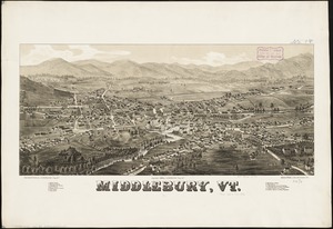
Middlebury, Vt
87.
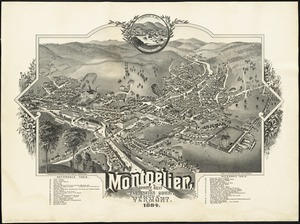
Montpelier, county seat of Washington County & capital of Vermont : 1884
88.
National map of New England states Vermont, New Hampshire, Massachusetts, Connecticut, Rhode Island and Maine showing counties...
89.
A new and accurate map of the colony of Massachusets Bay, in North America, from a late survey
90.
A new and accurate map of the colony of Massachusets Bay, in North America, from a late survey
91.
A new and accurate map of the province of New York and part of the Jerseys, New England and Canada, shewing the scenes of our...
92.
A New and correct map of the British colonies in North America comprehending eastern Canada with the province of Quebec, New...
93.
New England fishery, recreation and scenic resources
94.
New England regional transportation map = Mapa do transporte regional da Nova Inglaterra = Nueva Inglaterra, mapa regional de...
95.
New Hampshire and Vermont
96.
New Hampshire, Vermont, &c
97.
New map of Massachusetts : compiled from the latest and best authorities and corrected by permission from the survey ordered by...
98.
A new map of part of the United States of North America, containing those of New York, Vermont, New Hampshire, Massachusets...
99.
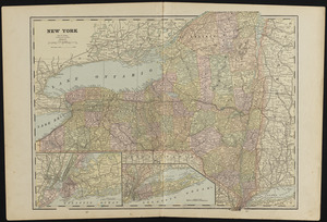
New York
100.
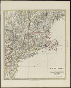
North America, sheet VI, New-York, Vermont, Maine, New-Hampshire, Massachusetts, Connecticut, Rhode-Island, and New-Jersey
‹ Prev
Next ›
1
2


![A comprehensive atlas geographical, historical & commercial [title page]](https://bpldcassets.blob.core.windows.net/derivatives/images/commonwealth:3f463182f/image_thumbnail_300.jpg)


![[Map depicting early land division and ownership in Barnard, Vermont]](https://bpldcassets.blob.core.windows.net/derivatives/images/commonwealth:kk91ft09h/image_thumbnail_300.jpg)


![[Map of New England]](https://bpldcassets.blob.core.windows.net/derivatives/images/commonwealth:hx11z5705/image_thumbnail_300.jpg)


![[Map of the railroads of Massachusetts running west from Boston]](https://bpldcassets.blob.core.windows.net/derivatives/images/commonwealth:x059cc84w/image_thumbnail_300.jpg)


![Map showing the relative distances of Porsmouth [i.e. Portsmouth] and Boston from Concord & Manchester, N.H](https://bpldcassets.blob.core.windows.net/derivatives/images/commonwealth:7h14b104z/image_thumbnail_300.jpg)


![A new map of part of the United States of North America, containing those of New York, Vermont, New Hampshire, Massachusets [sic], Connecticut, Rhode Island, Pennsylvania, New Jersey, Delaware, Maryland and Virginia](https://bpldcassets.blob.core.windows.net/derivatives/images/commonwealth:6t053p06v/image_thumbnail_300.jpg)