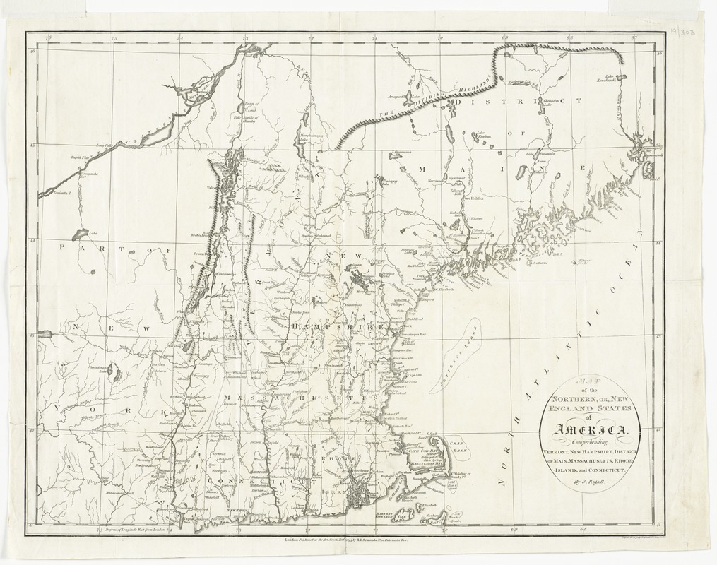
Map of the northern, or, New England states of America, comprehending Vermont, New Hampshire, District of Main, Massachusetts, Rhode Island, and Connecticut
This map is also available in American Revolutionary Geographies Online (ARGO), a collections portal especially built for material relating to the American Revolutionary War Era. Visit ARGO to learn more about this item and explore the historical geography of North America in the late eighteenth century.
Item Information
- Title:
- Map of the northern, or, New England states of America, comprehending Vermont, New Hampshire, District of Main, Massachusetts, Rhode Island, and Connecticut
- Title (alt.):
-
New England states of America
- Creator:
- Russell, John, active 1733-1795
- Contributor:
- Symonds, H. D. (Henry Delahoy)
- Name on Item:
-
by J. Russell
- Date:
-
1795
- Format:
-
Maps/Atlases
- Location:
- Phillips Academy
- Collection (local):
-
Sidney R. Knafel Map Collection at Phillips Academy, Andover MA
- Subjects:
-
New England--Maps--Early works to 1800
North America--Maps--Early works to 1800
- Places:
-
New England (area)
- Extent:
- 1 map : hand col. ; 36 x 44 cm.
- Terms of Use:
-
Rights status not evaluated.
Contact host institution for more information.
- Publisher:
-
London :
H.D. Symonds
- Scale:
-
Scale [ca. 1:1,650,000]
- Language:
-
English
- Notes:
-
Relief shown pictorially.
Prime meridian: London.
"Published as the act directs, Feb. 7, 1795."
- Identifier:
-
1321
- Call #:
-
Map 60.2.N3 1795


