Toggle navigation
LMEC Home
Exhibitions
Georeferencing
Tools for Teachers
Collections
My Favorites
Sign Up / Log In
Search
Search the map portal
Map Collection
Map Collection
Map Sets
Search
Search
Search for
Search In
All Fields
Creator
Title
Subject
Place
Search All Digital Collections
Advanced Search
8557 Results
My Search
Start Over
More Like
commonwealth:cj82m475k
Remove constraint More Like: commonwealth:cj82m475k
Filter your Search
Place
North and Central America
5,849
United States
4,771
Massachusetts
2,052
Europe
1,359
Suffolk (county)
1,034
Boston
1,007
Canada
448
Asia
422
more
Place
»
Topic
Boston (Mass.)--Maps
577
United States--Maps
273
Real property--Massachusetts--Boston--Maps
174
Massachusetts--Maps
160
Landowners--Massachusetts--Boston--Maps
132
North America--Maps--Early works to 1800
106
New England--Maps
99
Europe--Maps
78
more
Topic
»
Date
Date range begin
–
Date range end
Current results range from
1482
to
2023
View distribution
Creator
United States. Hydrographic Office
594
O.H. Bailey & Co
148
Des Barres, Joseph F. W. (Joseph Frederick Wallet), 1722-1824
123
United States. Post Office Dept
120
Ptolemy, 2nd cent
100
Walling, Henry Francis, 1825-1888
94
Jefferys, Thomas, -1771
87
Geological Survey (U.S.)
86
more
Creator
»
Format
Maps/Atlases
8,498
Manuscripts
218
Prints
56
Books
36
Objects/Artifacts
10
Drawings/Illustrations
8
Posters
4
Georeferenced
Yes
870
No
7,687
Collection
Norman B. Leventhal Map & Education Center Collection
8,549
Boston and New England Maps
2,204
Urban Maps
1,936
Maritime Charts and Atlases
1,080
American Revolutionary War-Era Maps
624
Boston Redevelopment Authority Collection
87
Richard H. Brown Revolutionary War Map Collection at Mount Vernon
4
Newberry Library Collection
2
more
Collection
»
Available to use
No known restrictions
8,408
Creative Commons license
52
Search Constraints
Sort by relevance
relevance
title
date (asc)
date (desc)
Number of results to display per page
50 per page
10
per page
20
per page
50
per page
100
per page
View results as:
grid view
map view
Search Results
1.
A new general chart of the West Indies from the latest marine journals and srveys regulated and ascertained by astronomical...
2.
A new general chart of the West Indies from the latest marine journals and surveys regulated and ascertained by astronomical...
3.
A new general chart of the West Indies from the latest marine journals and surveys regulated and ascertained by astronomical...
4.
[Alleen de Caribische Eilanden, vervat in 't groot]
5.
Beschryvinghe der eylanden van Cuba, Hispaniola, Iamaica, S. Ioannis ende Margarita
6.
Carta esferica que comprende una parta de las Islas Antillas, las de Puerto Rico, Santo Domingo y Jamayca y Cuba : con los...
7.
Carta particolare dell' Isola di Bermuda sin all' India Occidentale et al' capo S. Romano della Florida
8.
Carte des isles Antilles et du Golfe du Mexique : avec la majeure partie de la nouvelle Espagne
9.
Carte du Golfe du Mexique et des Isles Antilles
10.
Carte du Golphe du Mexique et des isles Antilles : reduite de la grande carte angloise de Popple
11.
Carte du Mexique et des Etats Unis d'Amérique, partie meridionale
12.
Chart of South America, comprehending the West Indies, with the adjacent islands, in the Southern Ocean, and South Sea
13.
Chart of the Atlantic Ocean, with the British, French, & Spanish settlements in North America, and the West Indies : as also on...
14.
Cuba Insula ; Hispaniola Insula
15.
Culiacanae, Americae regionis, descriptio : Hispaniolae, Cubae, aliarumque insularum circumiacientium, delineatio
16.
Dominia anglorum in præcipuis insulis Americæ ut sunt insula : S. Christophori, Antegoa, Iamaica, Barbados : nec non insulae...
17.
A generall mapp of the continent and islands which bee adjacent to Jamaica : A new mapp of the Island of Jamaica
18.
Grand theatre de la guerre en Amerique suivant les plus nouvelles observations des Espagnols, Anglois, François & Hollandois
19.
Les grandes et petites isles Antilles, et les isles Lucayes avec une partie de la mer du Nord
20.
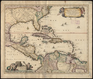
Insulæ Americanæ in Oceano Septentrionali ac regiones adiacentes : a C. de May usque ad Lineam Æquinoctialem
21.
Insulæ Americanæ in Oceano Septentrionali ac regiones adiacentes : a C. de May usque ad Lineam Æquinoctialem
22.
Insulæ Americanæ in Oceano Septentrionali ac regiones adiacentes : a C. de May usque ad Lineam Æquinoctialem
23.
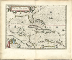
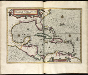
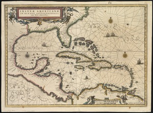
Insulae Americanae in Oceano Septentrionali, cum terris adiacentibus
24.
Insulae Americanae in Oceano Septentrionali cum terris adiacentibus
25.
Insulae Americanae in Oceano Septentrionali cum terris adiacentibus
26.
Insulae Americanae in Oceano Septentrionali, cum terris adiacentibus
27.
Les isles Antilles &c. entre lesquelles sont les Lucayes, et les Caribes
28.
A map of North America, & the West India Islands, with part of South America, Europe, Africa & the Atlantic Ocean with it's...
29.
A map of the British Empire in America with the French and Spanish settlements adjacent thereto
30.
A map of the English, French, Spanish, Dutch, & Danish Islands, in the West Indies, taken from an improved map of the...
31.
A map of the West-Indies &c. Mexico or New Spain : also ye trade winds, and ye several tracts made by ye galeons and flota from...
32.
A map of the West-Indies or the islands of America in the North Sea : with ye adjacent countries; explaning [sic] what belongs...
33.
A map of the West-Indies or the islands of America in the North Sea : with ye adjacent countries; explaning [sic] what belongs...
34.
A new & accurate map of the West Indies and the adjacent parts of North & South America
35.
A new and accurate chart of the West Indies : with the adjacent coasts of North and South America
36.
A new and complete map of the West Indies : comprehending all the coasts and islands known by that name
37.
A new and improved chart of the West India or Carribbee [sic] Islands
38.
A new chart of the Bahama Islands and the Windward Passage
39.
A new chart of the West Indies including the Florida Gulf and Stream
40.
Partie de la mer du Nord, où se trouvent les grandes et petites isles Antilles, et les isles Lucayes
41.
Pascaarte vande vaste cust en eylanden van Westindien, als mede de Virginis en Nieu-Nederland, van C. Droge tot C. Cod
42.
Pascaerte van Brazil en Nieu Nederlandt, van Corvo en Flores tot de Barbados
43.
Pascaerte van Westindien de Vaste Kusten en de Eylanden
44.
The principall islands in America belonging to the English empire viz Iamaica, Barbados, Antegoa, St. Christophers & Bermudos
45.
Teâtre de la guerre en Amerique telle que'elle est à present possedée par les Espagnols, Anglois, François, et Hollandois...
46.
Terra Firma and the Caribbé Islands &c
47.
The West Indies
48.
West Indies
49.
The West Indies and coast adjacent : reduced from the sheet map
50.
The West Indies exhibiting the English, French, Spanish, Dutch & Danish settlements
‹ Prev
Next ›
1
2
3
4
5
…
171
172


![[Alleen de Caribische Eilanden, vervat in 't groot]](https://bpldcassets.blob.core.windows.net/derivatives/images/commonwealth:st74cw59p/image_thumbnail_300.jpg)


![A new and improved chart of the West India or Carribbee [sic] Islands](https://bpldcassets.blob.core.windows.net/derivatives/images/commonwealth:kk91fq95z/image_thumbnail_300.jpg)